The Aberdares slopes are also a key supply of vegetables for Nairobi grocery stores, and arguably the most significant source of the Irish potato, Nairobi’s second most important staple food.

Although the hill may be climbed from a variety of locations, the ideal approach is from the Njabini Forest Station (formerly Kinangop South Forest Station), which is located approximately 4 kilometers from the Njabini retail area. From the Forest Station, at a height of 2500m, the trek up the hill takes 4 to 5 hours. The first 5 kilometers are over very level plantation forest-covered terrain, with occasional Shamba-style controlled farming activities. The route subsequently takes a sharp right bend and enters the Bamboo zone.

Caution: Keep in mind that the weather at this elevation might quickly deteriorate. Carry warm clothing and rain gear, and unless you’re using GPS to navigate, halt trekking if fog appears. Be ready for the worst-case scenario.

Elephant Hill Hiking Guides

Rangers from the KWS are not trained as tour guides. If you want to reach your goal, travel with someone who is familiar with the region or utilize GPS navigation.

How to Get There

Take the Njabini Matatus from the Old Nation House roundabout if you’re taking public transportation. The woodland entrance is about 4 kilometers away after you get at Njabini.

Take the new Nakuru Road on the top escarpment for about 60 kilometers to a site known locally as flyover if travelling from Nairobi. Cross Nakuru Road via the flyover. Turn left at the next intersection a few meters after crossing and travel for 24 kilometers to Njabini town. 4 kilometers farther on lies the Njabini Forest Station.

Entry Requirements

Although most tourists want KWS armed escort from Njabini Forest Gate, you can avoid this service by completing an indemnification form if you know the path or have a guide. Here, the official Kenya Wildlife Services (KWS) park admission and armed escort prices apply.

Camping

Kenya Forestry Services is in charge of Njabini Gate (KFS). If you want to camp there, you’ll have to pay KFS charges.

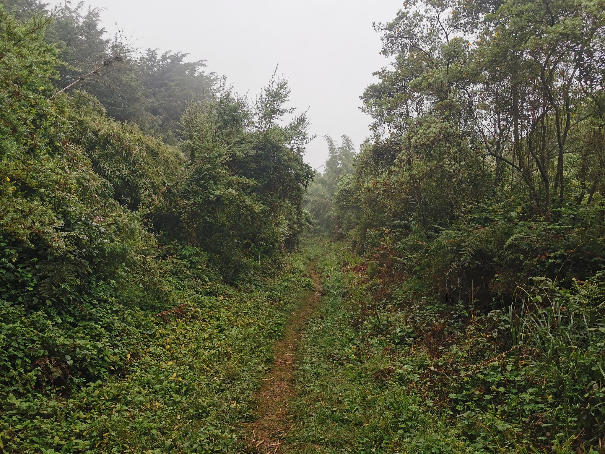
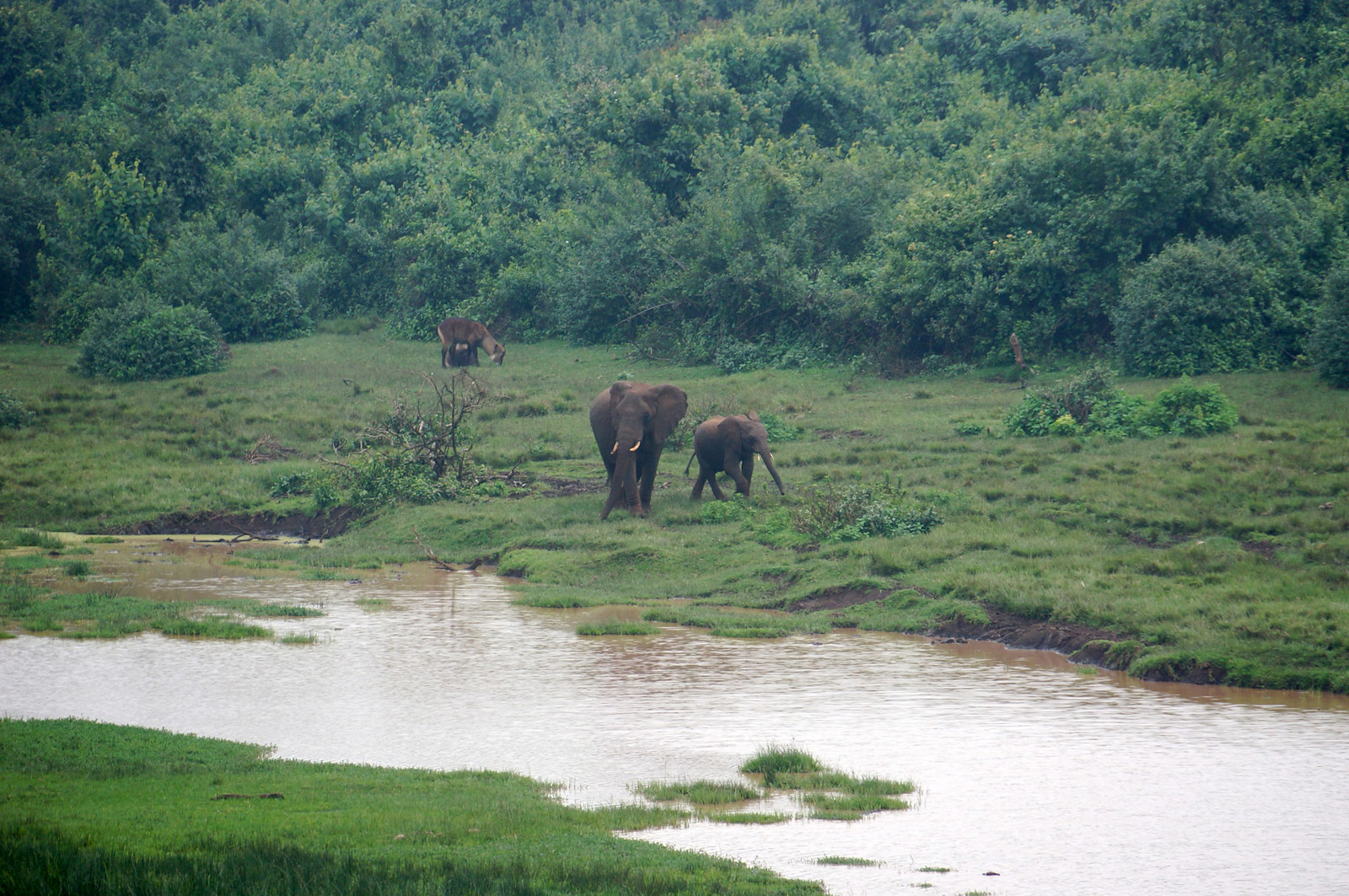
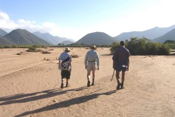
As you trudge up the ever steeper road, the small pathway, broken every few feet by dangerous mud, is now enveloped by a canopy of towering bamboo, with only filtered light passing through. The odd elephant footprint and droppings from other animal species serve as a continuous reminder that you’re in a game reserve rich with wildlife, with the armed escort serving as your only line of defense against potential danger.

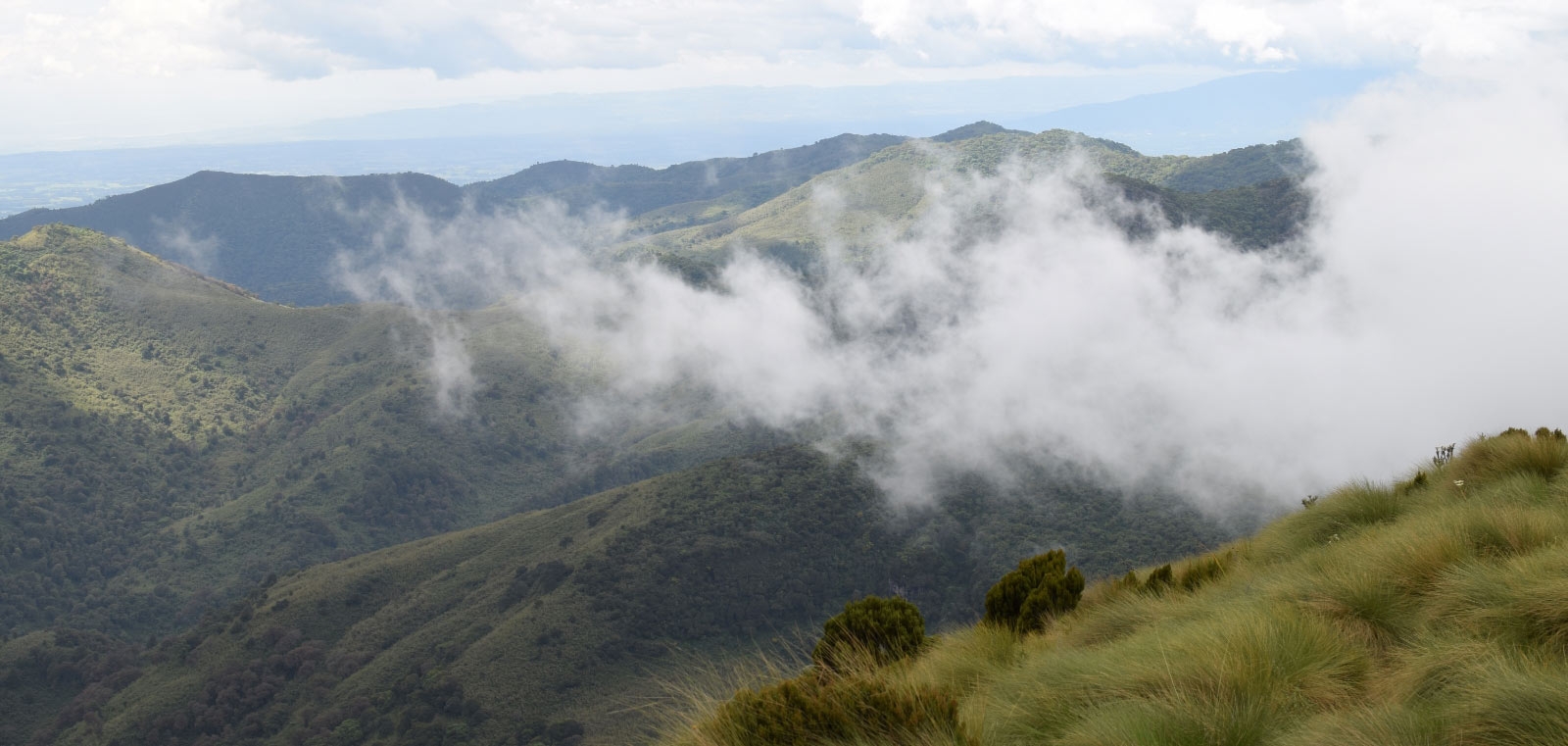
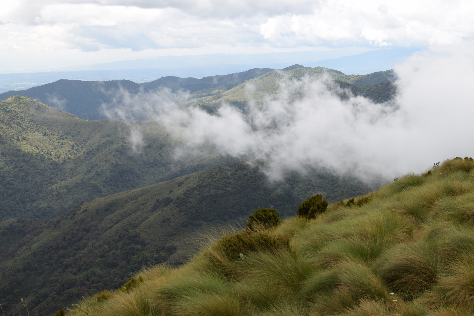
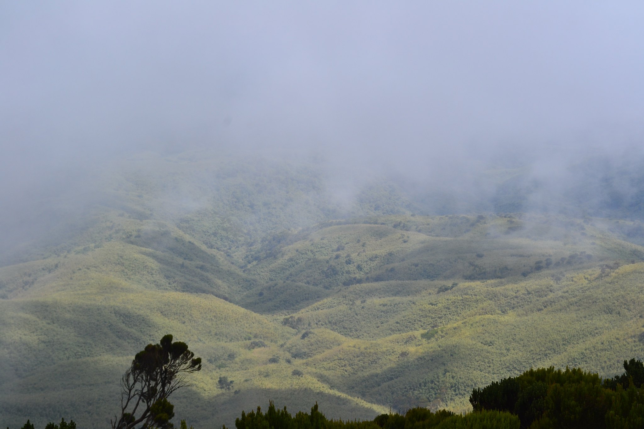
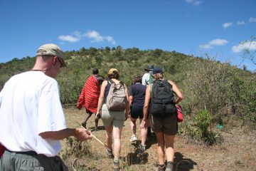
The route gradually levels off and the Bamboo thins out as you reach the alpine zone, which is marked by a spectacular assortment of bizarre flora such as Giant Lobelia, Senecio, Tussock Grass, and Giant Heather, among others; a genuine feast for botany fans. Those that make it this far will be rewarded with breathtaking vistas of the surrounding landscape, including the local Sasumua Dam to your right and the distant Ndakaini Dam to your left. You’ve arrived to the point of despair, commonly known as the elephant’s rump.

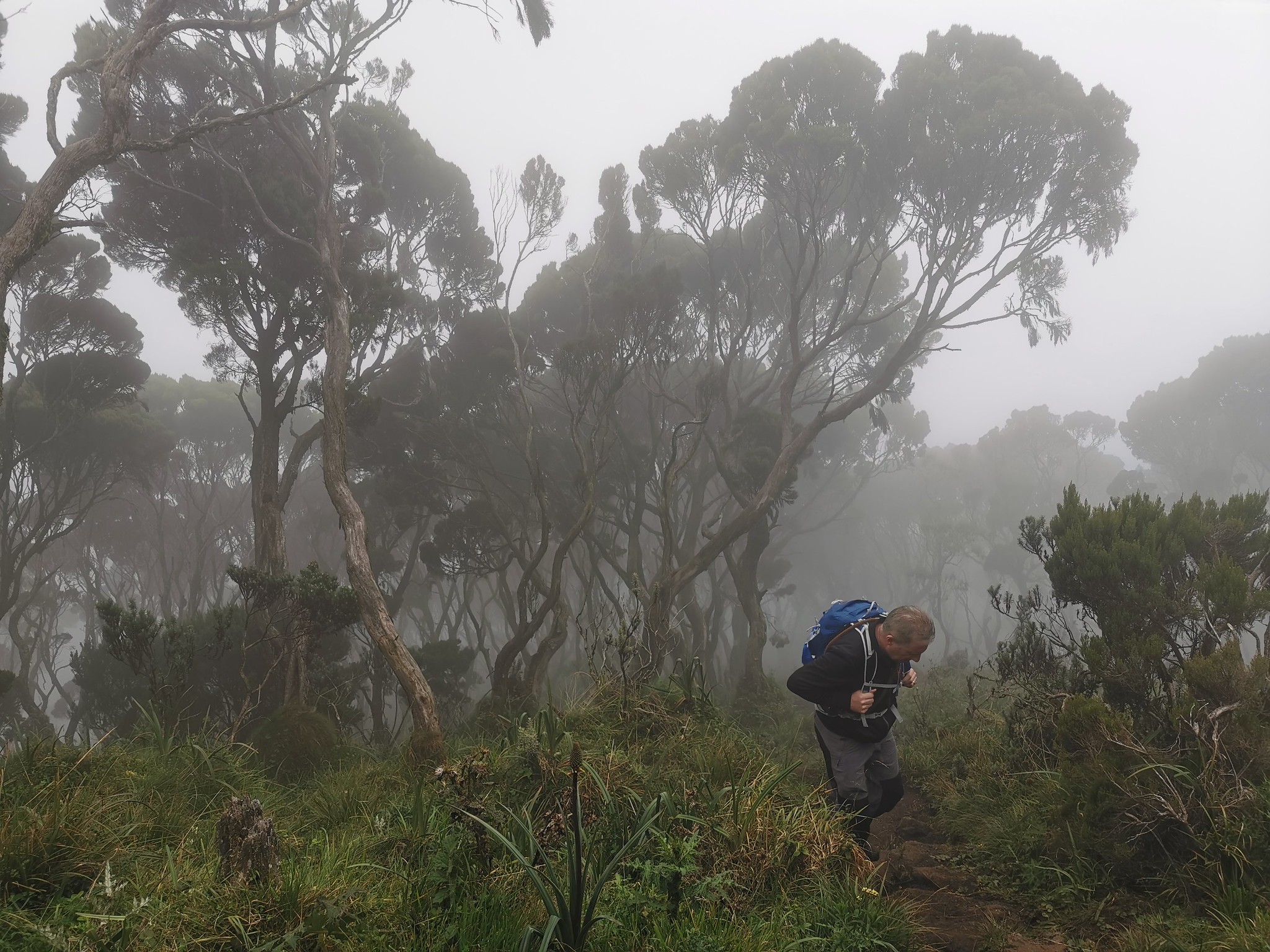
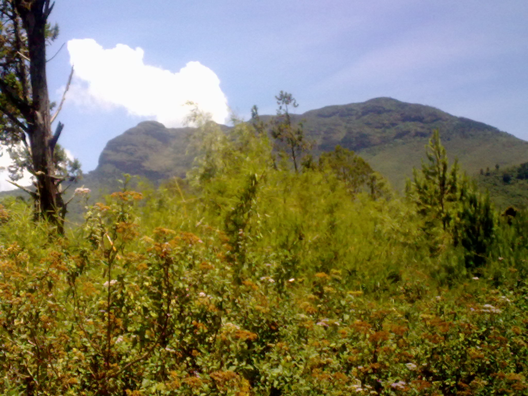
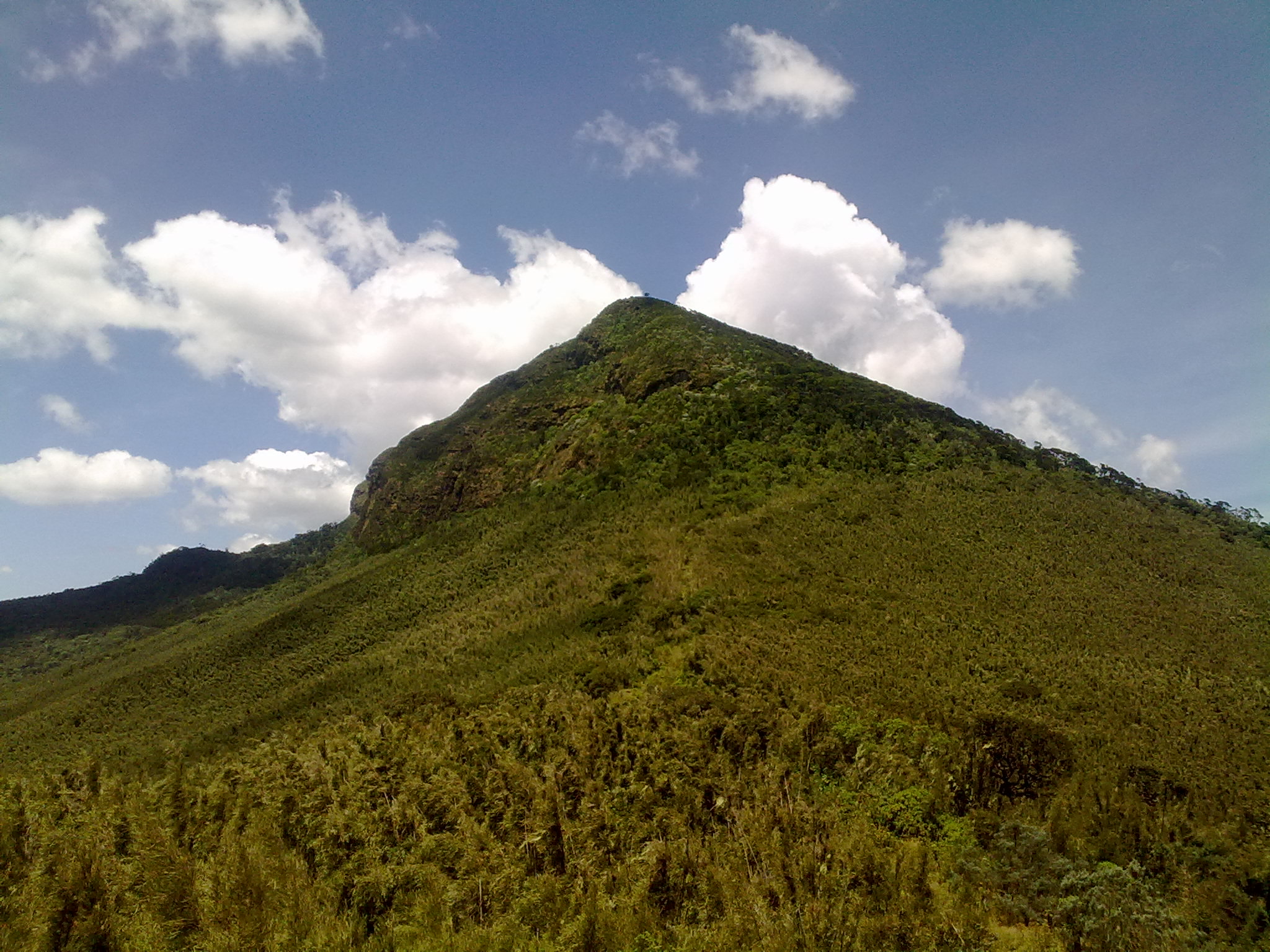
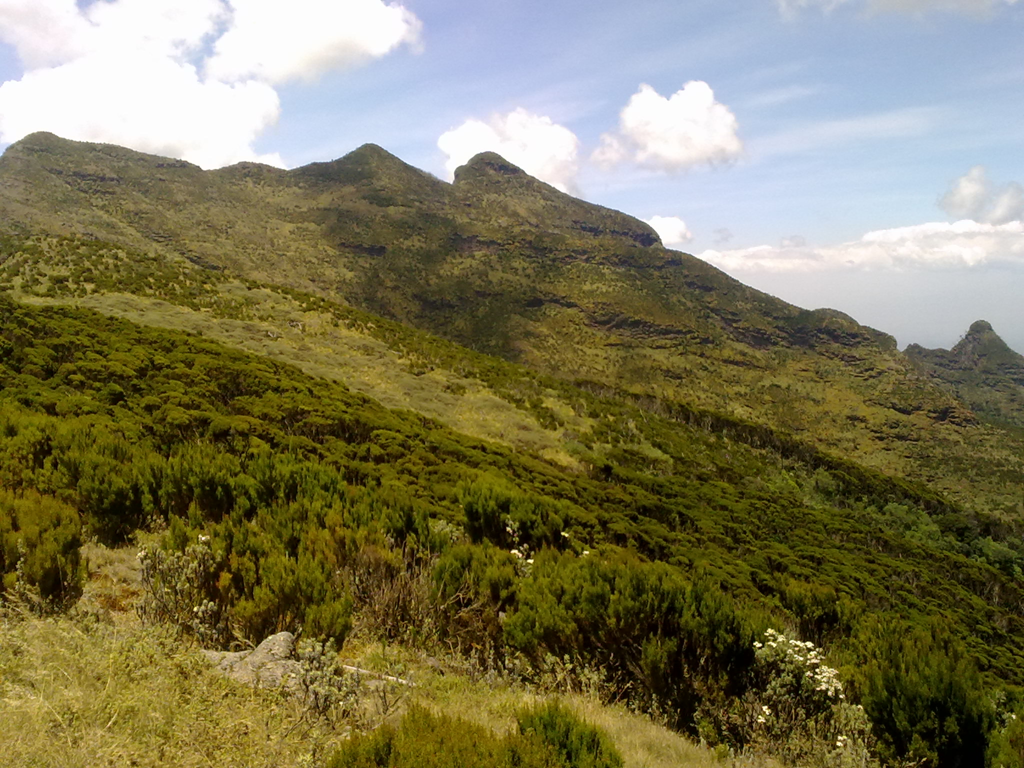
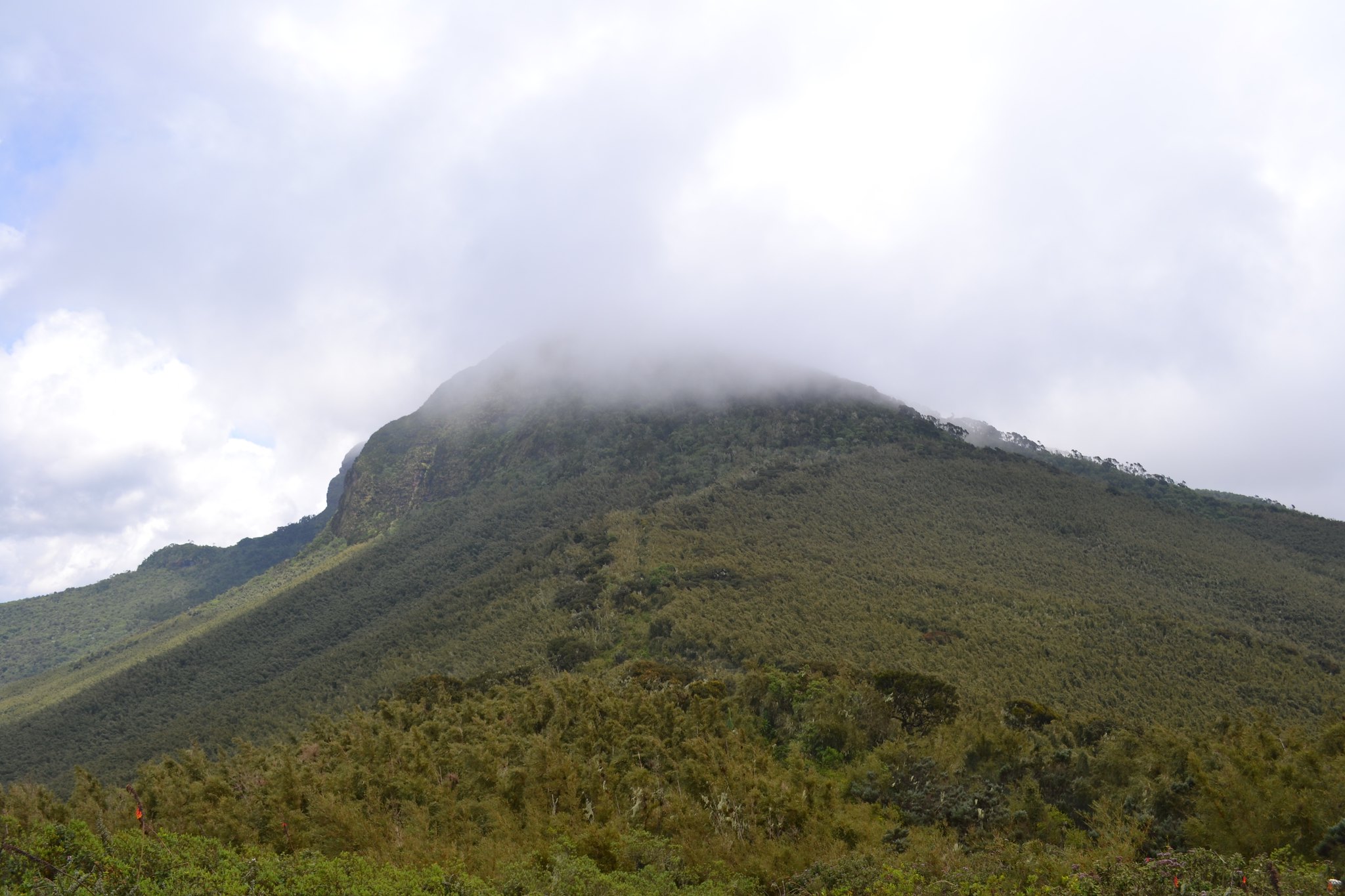
The rest of the journey is through somewhat rocky terrain at a height of almost 3400m above sea level, with the temperature falling dramatically as you make your way across the elephant’s back for those who are strong enough to continue. The route descends through a dense grove of trees before ascending out of the little valley. It soon becomes rather steep as it meanders through gnarled gigantic heather trees draped in Spanish moss, which provide handholds when you need to pull yourself up the slope. After what seems like an unending climb, the route finally levels off, allowing you to glimpse the top for the first time. The saddle between two knolls can help you find it.

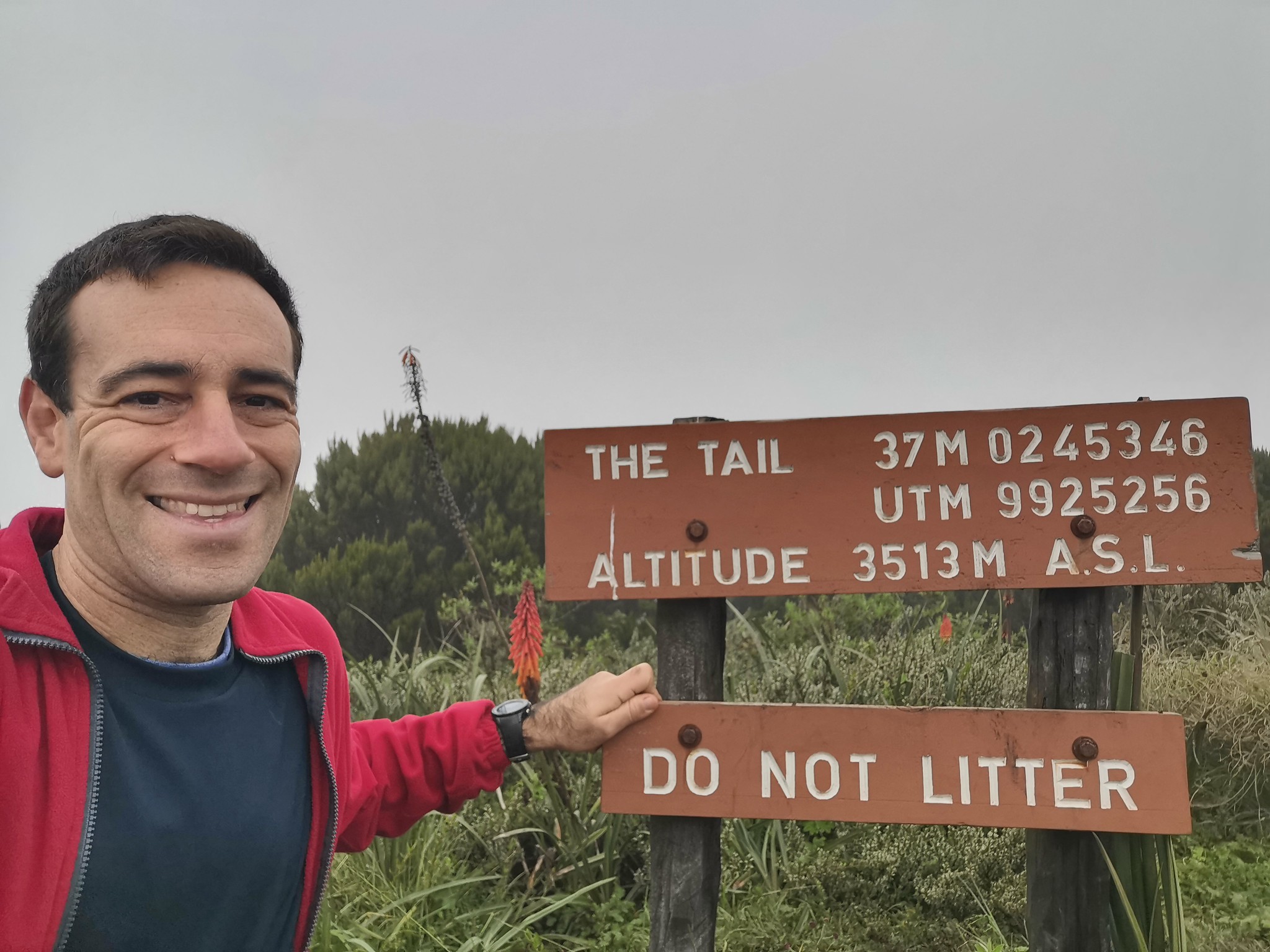
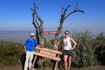
You can climb one of the two summits in 5 minutes after traversing the Elephant’s back to reach this saddle. The 3625m high peak is preferred by most hikers, however the left one is higher at 3630m above sea level. To the north, the remarkable Kinangop peak, the Aberdares’ second highest point, may be seen.

When you are within 15-20 minutes of reaching the peak, the KWS rangers may try to persuade you not to go. They’ll offer you excuses like the weather may turn bad or the terrain is terribly hazardous. If you have your heart set on getting there, kindly insist on going forward and prevent later regretting turning back after being so near.

The descent is just as difficult as the ascent, putting a toll on the knees and adding another 3 to 4 hours to the time it takes to reach the Forest station.

The cost for the one day Mount Kilimanjaro hike includes and excludes the following items

Hike Price includes

All transfers to the mountain and back to your hotel

Professional, experienced, mountain guides

Guides, Porters, Cook salaries and park fees

Quality, waterproof, four-season mountain sleeping tents

Sleeping Mattress

All meals while on the Mountain

Quality Mess tents with table and chairs

Large portions of fresh, healthy, nutritious food

Clean, purified drinking water

Conservation fees (part of park fees)

Camping or Hut fees (part of park fees)

Rescue fees (part of park fees)

VAT (18% charged by the Government)

Surcharge for online payment of deposit (5%)

Price Excludes

Airport transfers

Accommodation in Nairobi

Tanzania Visa

Gratuity

Personal Expenses (e.g. laundry, telephone, beverages, etc.)

Meals not listed above

Optional Tours (short safari after your climb etc)

Hiking the Elephant Hill, Aberdares