According to local guides, Enkamuka peak, the second highest on Ol Donyo Orok, may be reached from Maili Tisa center on the mountain’s eastern side.

The route to the summit of this 2,308m high peak is marked by dramatic changes in flora as you ascend higher, a sheer cliff with magnificent views to one side, and a mandatory tree climbing lesson. This side of the mountain, like the western side, has a plethora of caverns protected by enormous stones strewn over the dense forest cover.

How to Get There

If arriving by public transport from Nairobi, take Namanga Matatus from the River Rd and Ronald Ngara St intersection near OTC. Meet your guide in Maili Tisa centre, about 15 kilometers outside of Namanga town.

If you’re driving, take Mombasa Rd and turn left into Namanga Rd at the Athi River intersection.

Pass via Kitengela, Isinya, and Kajiado on your way to Maili Tisa, where you will meet your guide. The total driving distance from Nairobi City Centre is around 155 kilometers.

Ol Donyo Orok Hiking  Guide

While it’s not uncommon for local guides to refuse the assistance of armed Kenya Forestry Service (KFS) soldiers, it’s a good idea to ask them to arrange for armed escort. It’s an extra expenditure, but given the dangers you’ll face on this mountain, that precaution might save your life.

Accommodation

The hike may be completed in a single day, therefore camping is not required. There are no serviced sites on the mountain if you wish to camp. Small streams near some of the caverns, as well as bogs in the forest, provide water.

Because the local waterways might be muddy, you may need to carry your own drinking water. You’ll also need tents and any other camping gear you could require.

Confirm with your guides that they will be able to arrange their own lodging and food. They frequently neglect to seek your help with these issues, assuming that you would meet their needs.

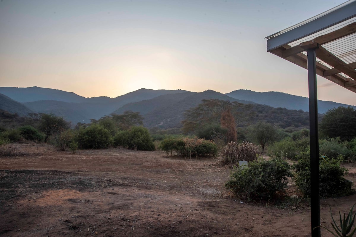
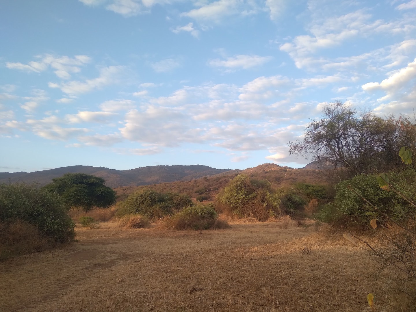
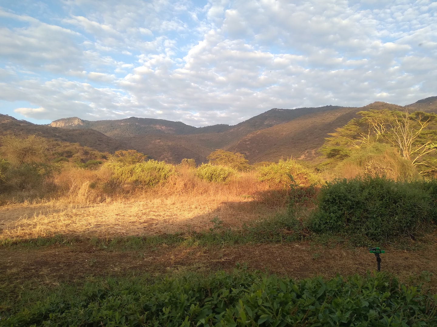
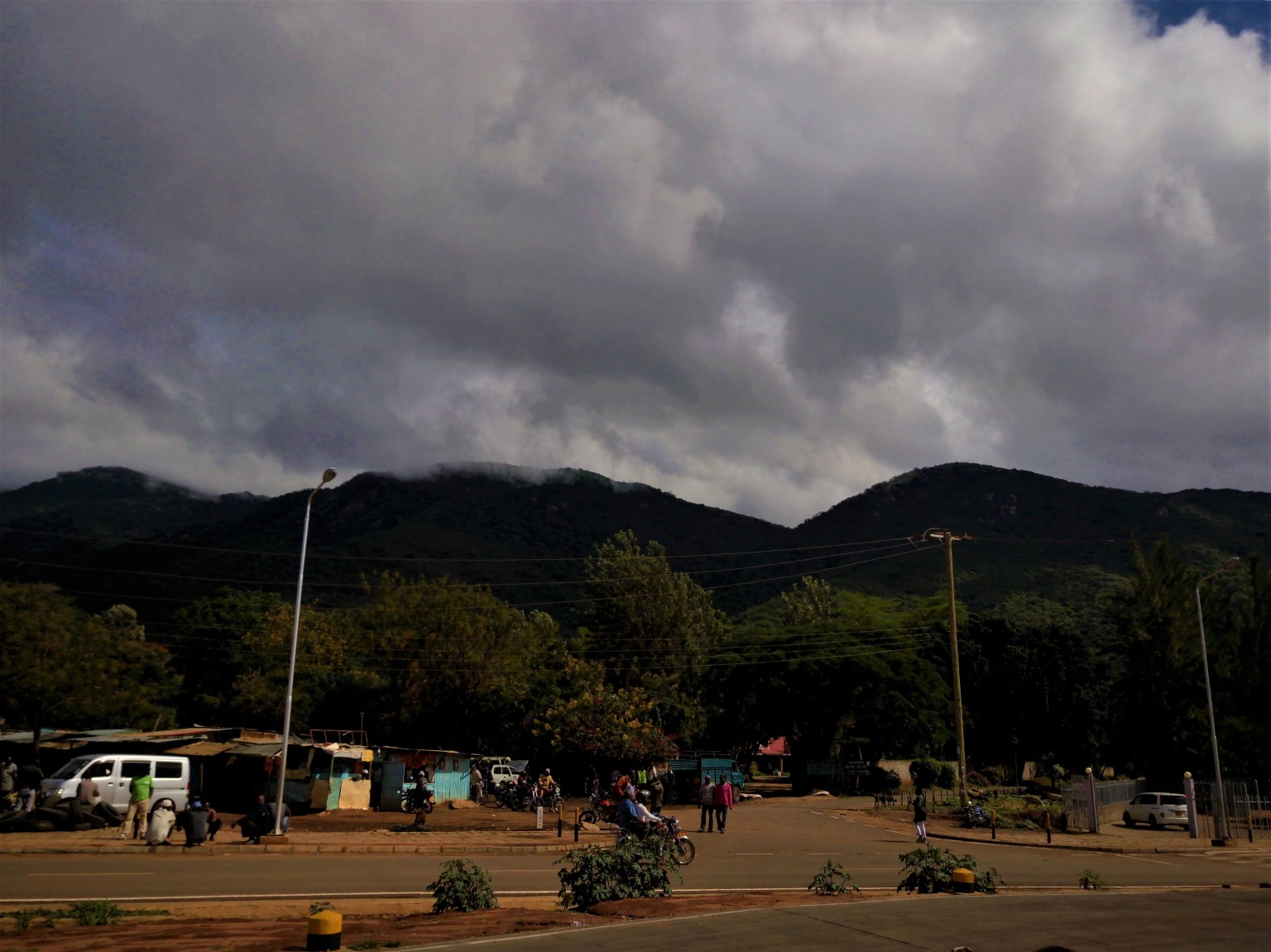
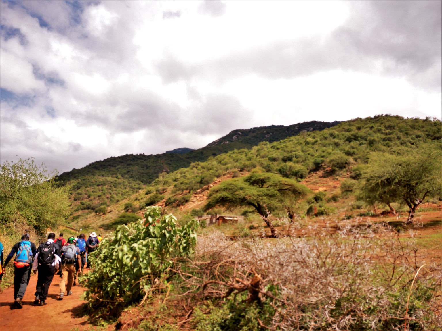
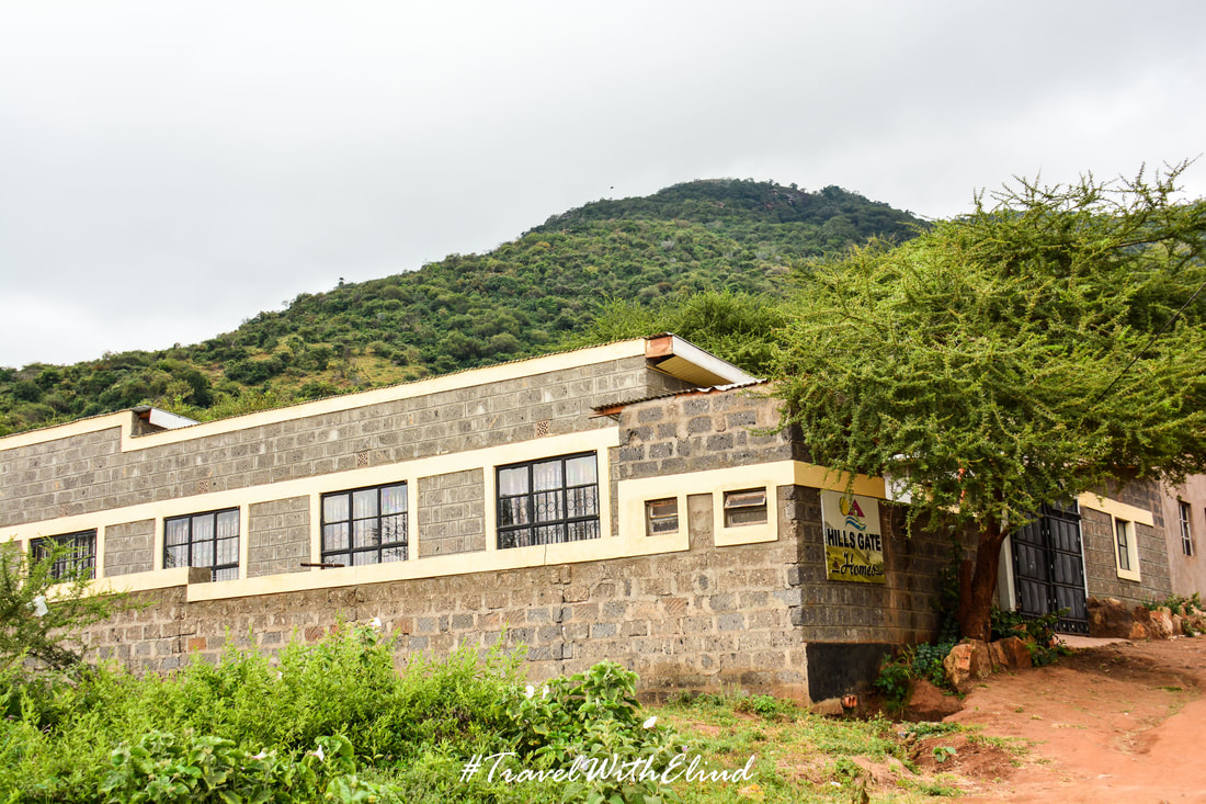
On Nairobi Namanga Road, about 2 kilometers from Maili Tisa town, the trek to Enkamuka summit begins at Baboon Camp. As you climb from 1300 meters to around 1900 meters, the vegetation changes to dryland shrubs.

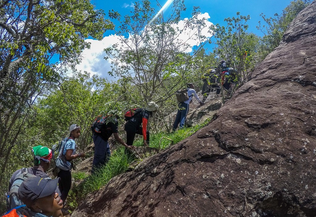
It eventually evolves into a calm tropical jungle with Spanish moss hanging from tree branches. The route meanders for a while along the right side of a steep escarpment, with a spectacular view of a high naked rock face across a deep valley.

The route emerges from the forest cover at one point, leading to a marshy glade where a Buffalo herd spends the night. On the glade, a little trickle of water from mountain springs flows through granite slabs protruding from the ground. Your guides will be looking over every shrub and track going out of the glade, just in case there are buffaloes nearby.

The forest cover thickens beyond this point, increasing the chances of seeing buffalo. Because these herds don’t seem to have any natural enemies, they’ve gotten rather huge and ferocious. If you don’t know how to climb trees quickly, you’ll have to brush up on your abilities if you don’t want to meet your maker.

The routes in this region become overgrown as a result of occasional use, forcing the guides to chop their way through the foliage. They made markings on trees along the route to make it easier to find the track on the way back. They also make regular stops to listen for massive animal movements.

(On a number of times, the guides and author had to scramble up trees after getting too near to an enraged buffalo that turned around and began charging.) While the event was thrilling, it had the potential to go horribly wrong).

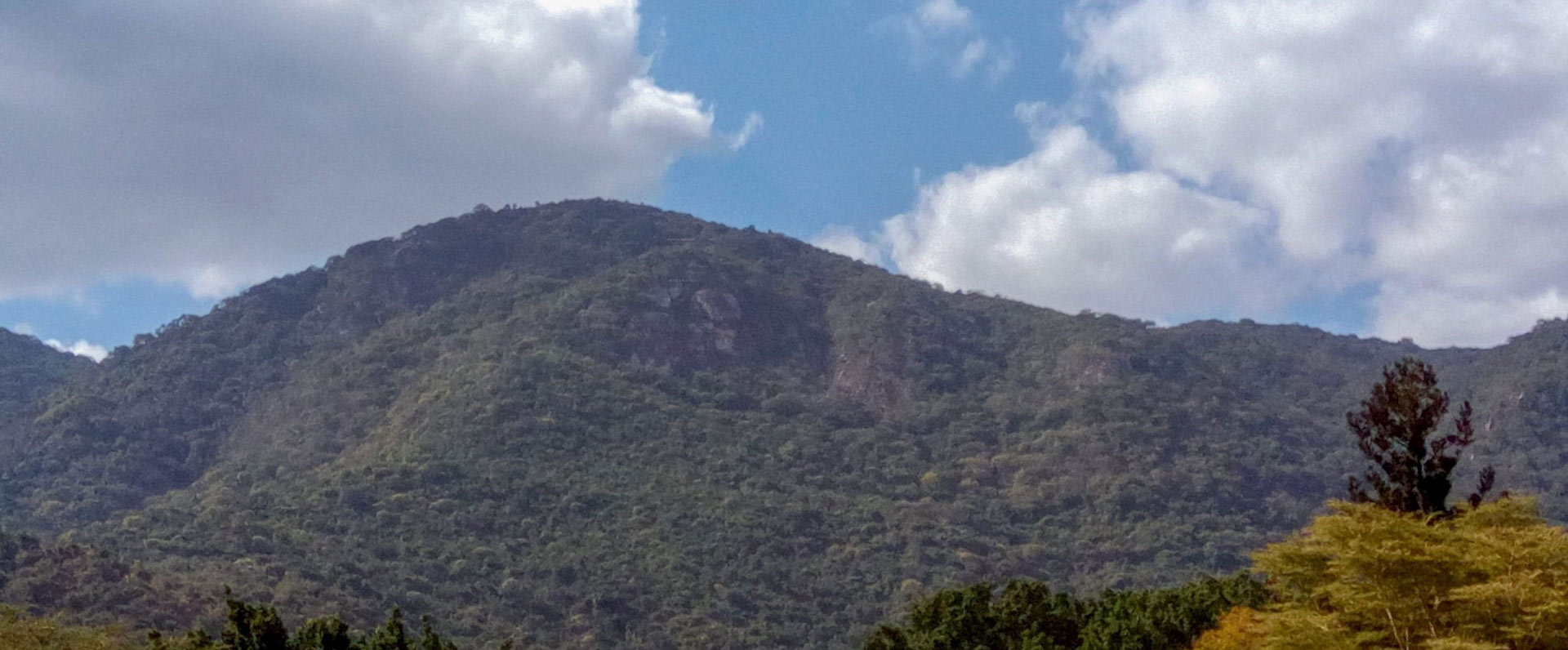
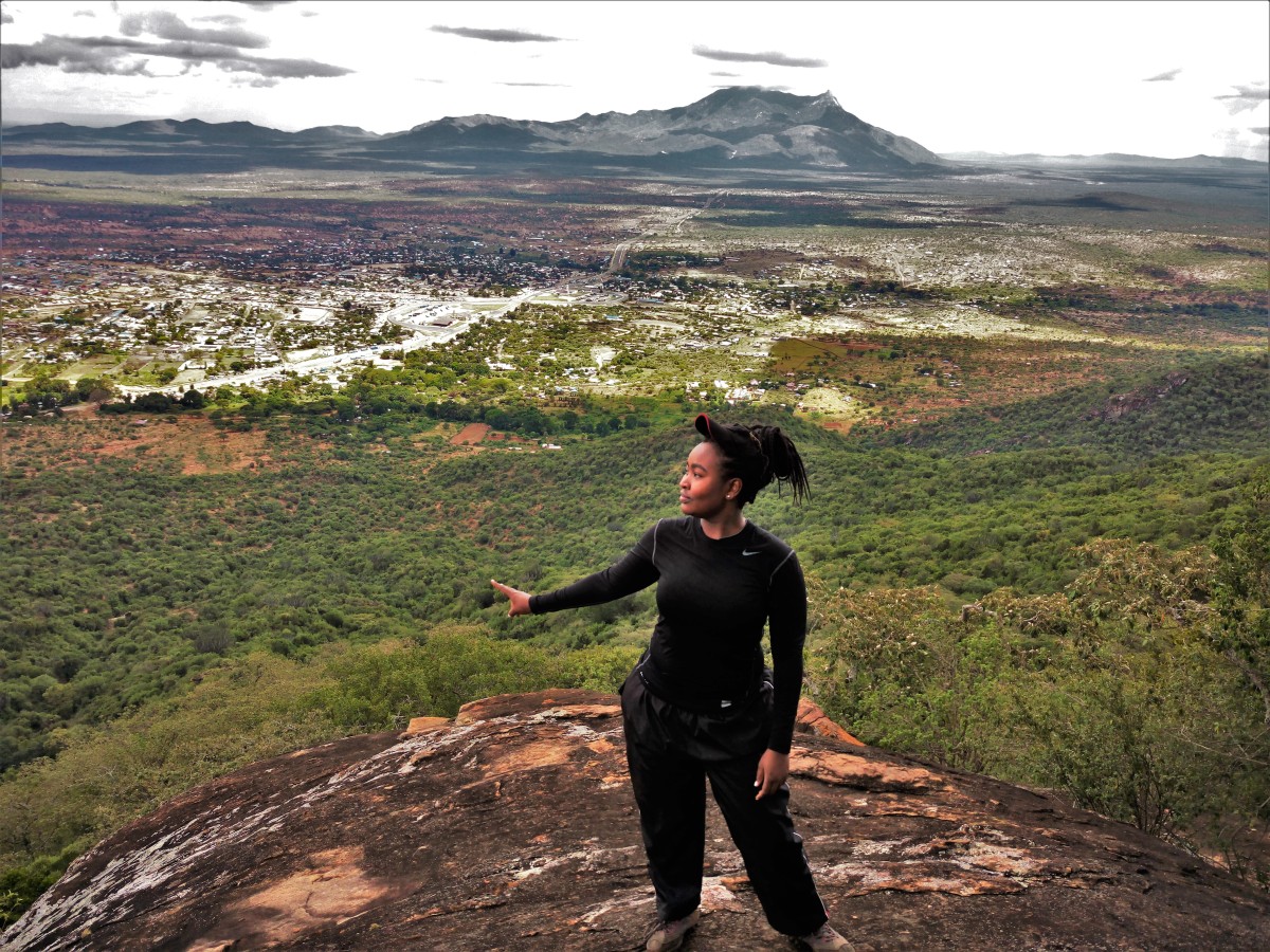
Above the tree line, an enormous rocky stretch comes into view. One of the rocky outcrops to the side is Enkamuka summit. From the peak, there are magnificent views of the other high peaks on Ol Donyo Orok, the plains below, and the top of the forest canopy.

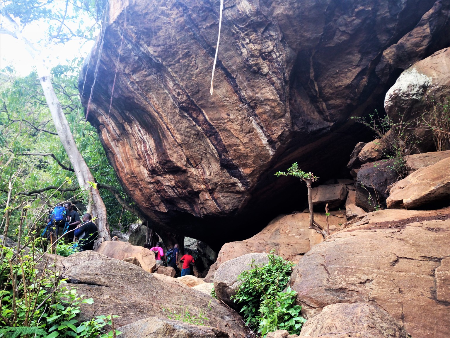
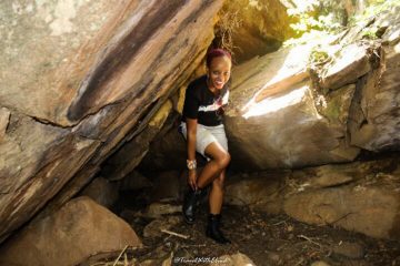
Enkamuka cave, one of numerous caverns in the area, is a quick 10 minute descent from the mountain.

It is the biggest of the three, and there is a tiny seasonal stream nearby. As a result, it’s used by Maasai Morans for woodland rites of passage and trekkers for overnight camping.

The hike from Baboon Camp to Enkamuka Peak is approximately 9 kilometers long, with an elevation gain of 1,050 meters, and takes around 4 hours to ascend and 3 hours to descend.

The cost for the one day Mount Kilimanjaro hike includes and excludes the following items

Hike Price includes

All transfers to the mountain and back to your hotel

Professional, experienced, mountain guides

Guides, Porters, Cook salaries and park fees

Quality, waterproof, four-season mountain sleeping tents

Sleeping Mattress

All meals while on the Mountain

Quality Mess tents with table and chairs

Large portions of fresh, healthy, nutritious food

Clean, purified drinking water

Conservation fees (part of park fees)

Camping or Hut fees (part of park fees)

Rescue fees (part of park fees)

VAT (18% charged by the Government)

Surcharge for online payment of deposit (5%)

Price Excludes

Airport transfers

Accommodation in Nairobi

Tanzania Visa

Gratuity

Personal Expenses (e.g. laundry, telephone, beverages, etc.)

Meals not listed above

Optional Tours (short safari after your climb etc)

Ol Donyo orok Hike
Ol Donyo orok Hike