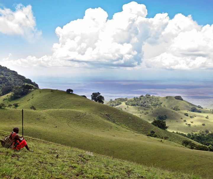
Caves and Hiking on Chyulu Hills
The stooping Chyulu Hills on the border of the Amboseli plains and the Tsavo plains are easily overshadowed by Kenya's tallest mountains. This 150-kilometer-long mountain range, located 200 kilometers southeast of Nairobi, was carved out of the enormous Tsavo West National Park in 1983, and its eastern slopes were designated as Chyulu Hills National Park. What made it so special that it was given this honor? While Mt Kilimanjaro, around 70 kilometers southwest, is Africa's tallest peak, the Chyulu Hills have the world's deepest known lava tube cave. Some of its volcanic eruptions occurred as recently as 240 years ago, leaving behind the Shetani lava flow and Chaimu
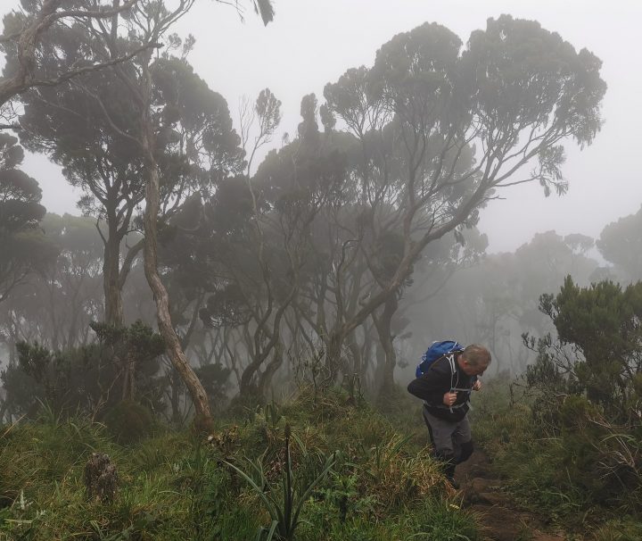
Elephant Hill, Aberdares Hike
The Aberdares slopes are also a key supply of vegetables for Nairobi grocery stores, and arguably the most significant source of the Irish potato, Nairobi's second most important staple food. Although the hill may be climbed from a variety of locations, the ideal approach is from the Njabini Forest Station (formerly Kinangop South Forest Station), which is located approximately 4 kilometers from the Njabini retail area. From the Forest Station, at a height of 2500m, the trek up the hill takes 4 to 5 hours. The first 5 kilometers are over very level plantation forest-covered terrain, with occasional Shamba-style controlled farming activities. The route subsequently takes a sharp
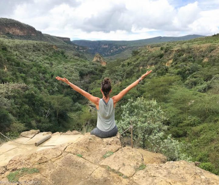
Hell’s Gate Day Trip
The Hell's Gate National Park, located 110 kilometers from Nairobi on the shores of Lake Naivasha, is one of the most beautiful places on the planet. It is one of Kenya's few game parks, covering an area of roughly 68 square kilometers, where you may stroll, run, or cycle among giraffes, Zebra, Gazelles, and other species. Various Hollywood movies have been filmed in this site throughout the years due to the stunning surroundings. Activities at Hell's Gate Aside from game, Hell's Gate National Park is home to Fischer's Tower, a remarkable volcanic plug that rises 25 meters above the level valley floor. Climbers of all levels, both experienced
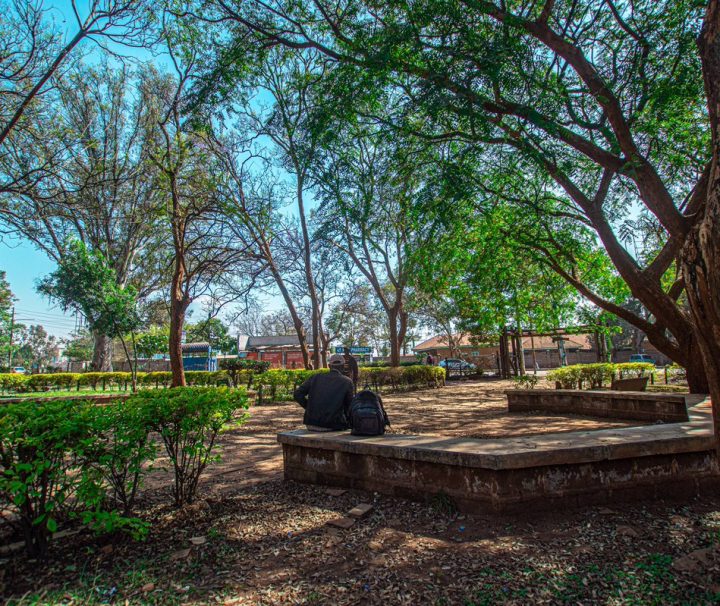
Jeevanjee Gardens
Jeevanjee Gardens is an outdoor area in Nairobi's Central Business District that is open to the general public. A.M. Jeevanjee, an Asian-born entrepreneur in Kenya, developed Jeevanjee Gardens. It is the city's only park that is directly owned by the people, having been offered as a resting space to the lovely people of Nairobi (the park was private property and it is held in trust for the people of Nairobi). Alibhai Mullah Jeevanjee donated this 5-acre recreational park to Nairobi inhabitants in 1906, making it one of the city's rare green spots. The park has been threatened with extinction on several occasions, including in 1991 and 2007, when
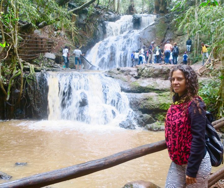
Karura Caves & Waterfalls
A visit to Karura Caves & Waterfalls makes you marvel at how much peace and natural beauty can exist in the middle of a bustling metropolis. It's around 5 kilometers outside of Nairobi's major business center, near Karura Forest. The northern up-market neighborhoods of Muthaiga, Runda, and Gigiri, with Kiambu Road on one side and Limuru Road on the other, surround this 564-hectare forest. Over the years, this forest has been plagued by issue after controversy, with logging and land grabs reducing it to its current size from the legally gazetted forest area of 1041 hectares in 1994. Wangari Maathai, the late Nobel Laureate, and other environmentalists battled
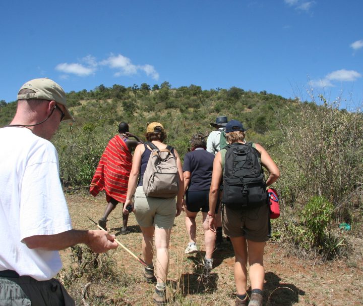
Loita Hills Hiking, Maji Moto
The Maji Moto hot springs, not to be confused with the Kikuletwa Hotsprings in Tanzania that are also known as Majimoto is located at the northernmost extremity of the Loita Hills, are a valuable supply of water for the Maasai people who live on the arid Loita Plains. The lower slopes of the Loita Hills near Maji Moto provide fantastic hiking routes and a stunning display of dry land flora and animals for nature enthusiasts. How to Get There Take the lower escarpment Naivasha Road to Mai Mahiu, then turn left and drive all the way to Narok town if coming from Nairobi. After a short distance, turn
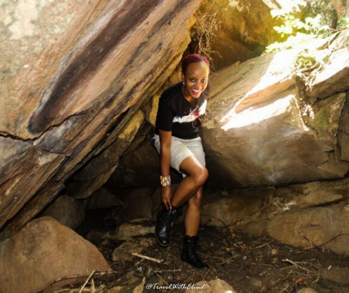
Mau Mau Caves, Mt Kenya Hike
The Mau Mau Caves, located in the slopes of Mount Kenya, lead to a spectacular waterfall and Burguret River pass-through boulders. These caverns in Nanyuki, which were once hidden by a deep forest cover, are well renowned for their historical significance. Between 1952 and 1960, the Mau Mau Freedom fighters utilized these tunnels to store supplies and hide from colonial soldiers during the Emergency. How to Get There Take Nanyuki matatus from their Tea Room Stage at the intersection of Accra Rd and River Rd if taking public transportation. Arrive at the Bantu Lodge turnoff, which is well marked. The Lodge is approximately 1 kilometer from the road.
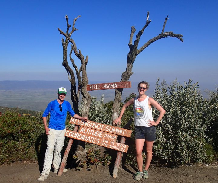
Mount Longonot Day Hiking
Climb Mount Longonot in Kenya with Tranquil Kilimanjaro, a remarkable dormant volcano that overlooks the magnificent scenery of Kenya's Lake Naivasha region, typifying the turbulent volcanic origins of the Great Rift Valley bottom. Climbing Longonot, which rises to 2776 meters above sea level (and 750 meters above the surrounding terrain), provides hikers with an intriguing and inspirational day trip that culminates in one of Kenya's greatest and most spectacular vistas! Longonot trek day trip is one of Kenya's most popular activities, especially for the daring tourist. Put on your hiking boots, bring some sunscreen, and head out to one of Kenya's least frequented conservation parks to explore this
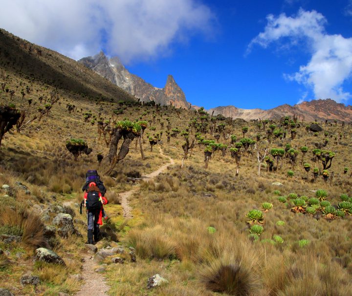
Naromoru – Mount Kenya Day Hike
Yes, you may go for a day walk up Mt Kenya and return to Nairobi the same day. At 5199m above sea level (asl), this mountain is the highest in Kenya and the second highest in Africa, attracting both local and international hikers and climbers lured by its snow-capped summits, spectacular landscape, and the challenge of the climb. Climbs often last 3 to 5 days for those aiming for the highest points. For those with limited time, the places near the mountain base can offer provide a satisfying experience. Naromoru Route Description Buffaloes, elephants, black leopards, lions, hyenas, several types of antelopes, monkeys, birds, and hyraxes, among other
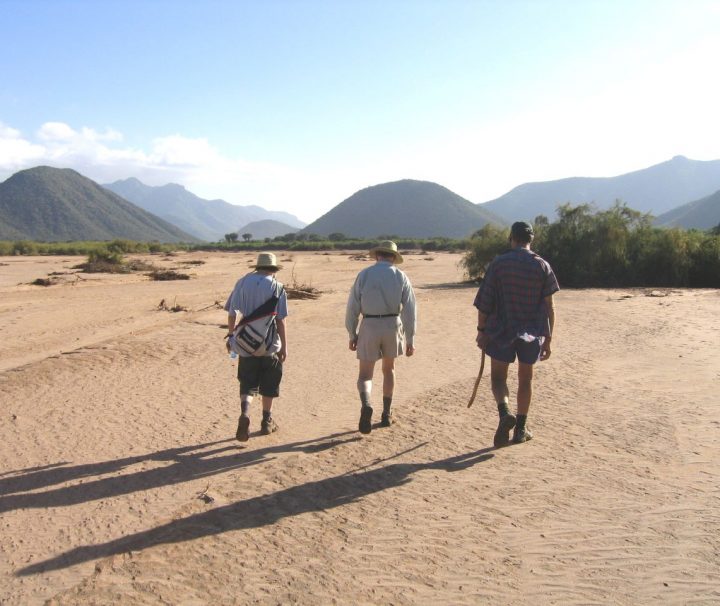
Ndoto Mountains, Aldera Hill
For anyone courageous enough to survive the long off-road, hot, dusty trip through Kenya's semi-arid northern border plains, the Ndoto Mountains in Samburu County offer an oasis. This region had been plagued by insecurity for so long that most people were unable to reach there until lately. The several hills that make up this mountain range, which stretches 40 kilometers from southeast to northwest, create a breathtaking vista of jagged peaks and valleys in stark contrast to the surrounding plains. One of these hills, the 1800m high Aldera, provides a reasonably simple day climb from the Ngurunit base at 800m. How to Get There Take Thika Road out
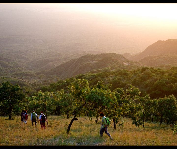
Nguruman Escarpment Hike
The road from Nairobi to the Nguruman Escarpment passes through the rolling green foothills of the Ngong Hills, long descent to the semi-arid plains on the Great Rift Valley's floor, a brief watery interlude crossing the renowned Lake Magadi, and then another seemingly endless drive through dusty dirt tracks crossing semi-arid plains inhabited by the Maasai community. To the south, near the Tanzanian border, the Nguruman Escarpment defines the western edge of Kenya's Rift Valley. The environment changes considerably as you approach its slopes, some 160 kilometers from Nairobi. Mango and Pawpaw groves may be found all over the place. Thanks to the Entasopia River, which originates from
Ol Donyo Orok, Enkamuka Peak
According to local guides, Enkamuka peak, the second highest on Ol Donyo Orok, may be reached from Maili Tisa center on the mountain's eastern side. The route to the summit of this 2,308m high peak is marked by dramatic changes in flora as you ascend higher, a sheer cliff with magnificent views to one side, and a mandatory tree climbing lesson. This side of the mountain, like the western side, has a plethora of caverns protected by enormous stones strewn over the dense forest cover. How to Get There If arriving by public transport from Nairobi, take Namanga Matatus from the River Rd and Ronald Ngara St intersection