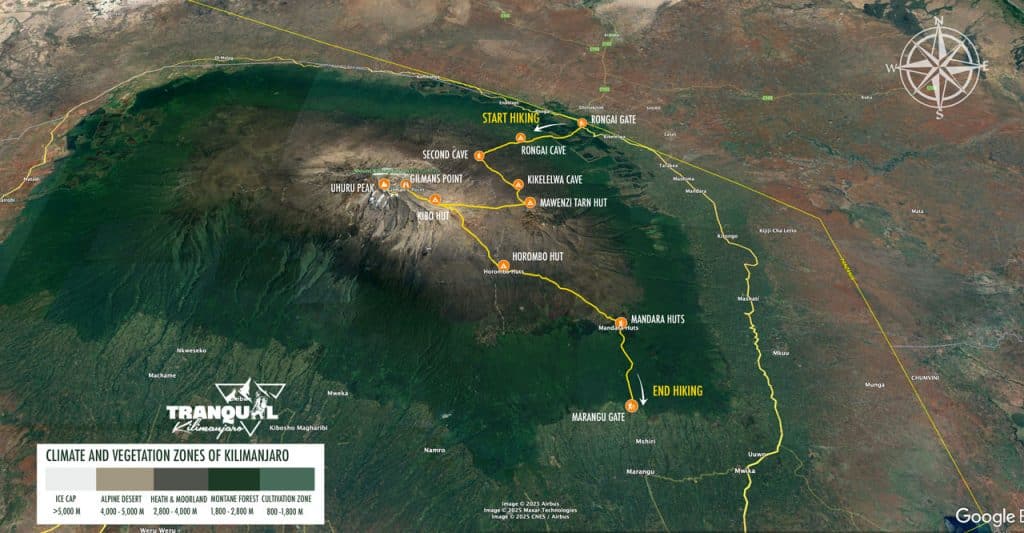
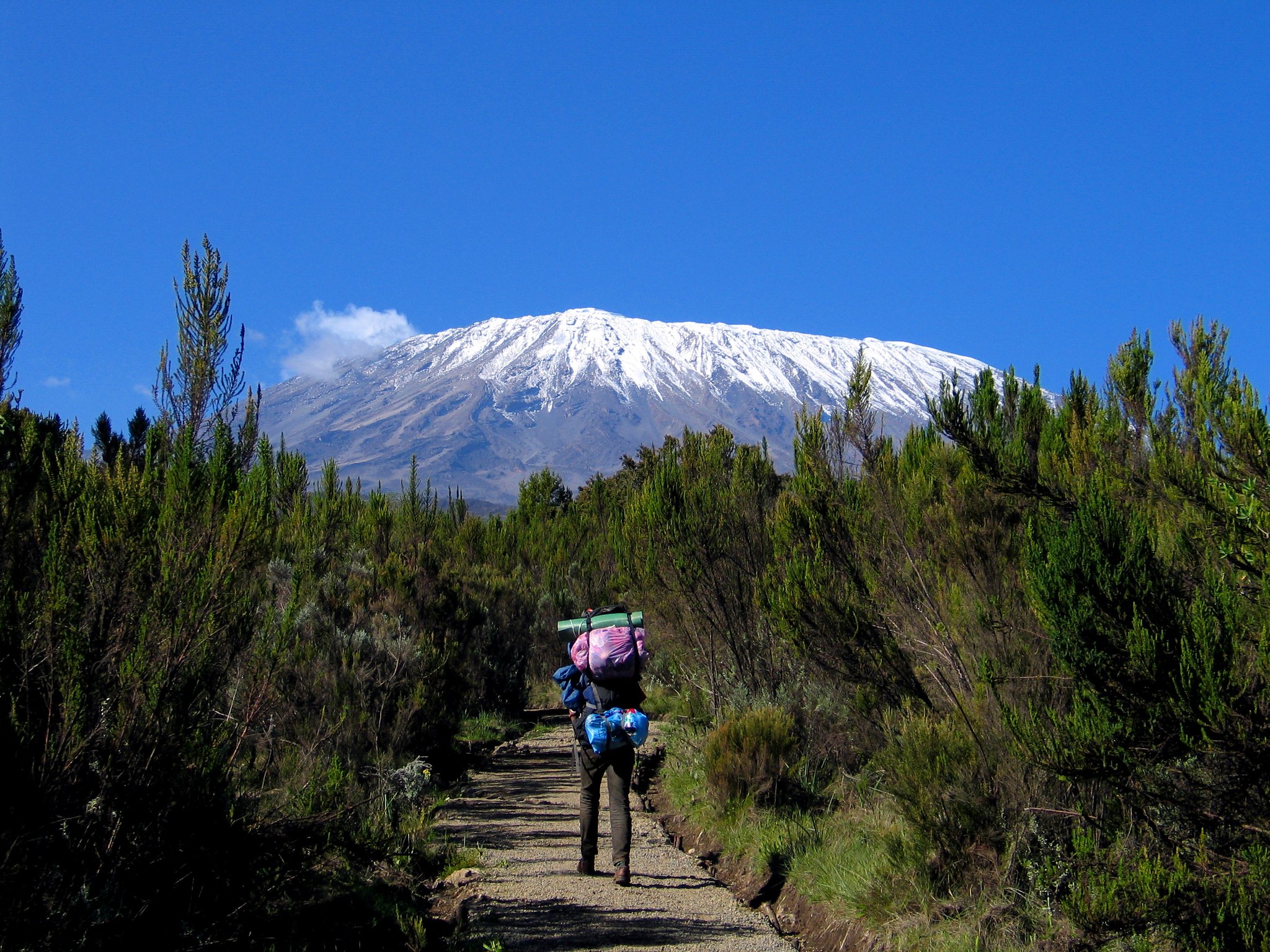
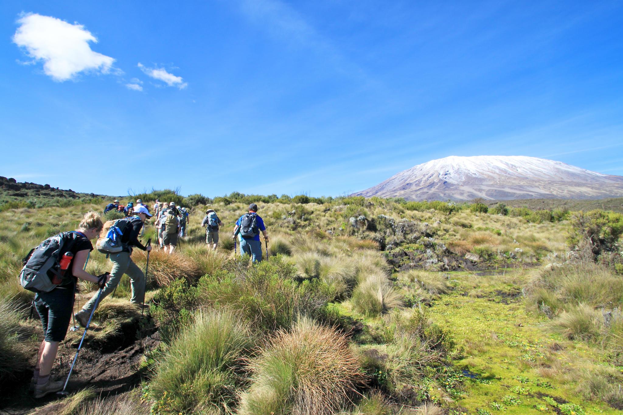
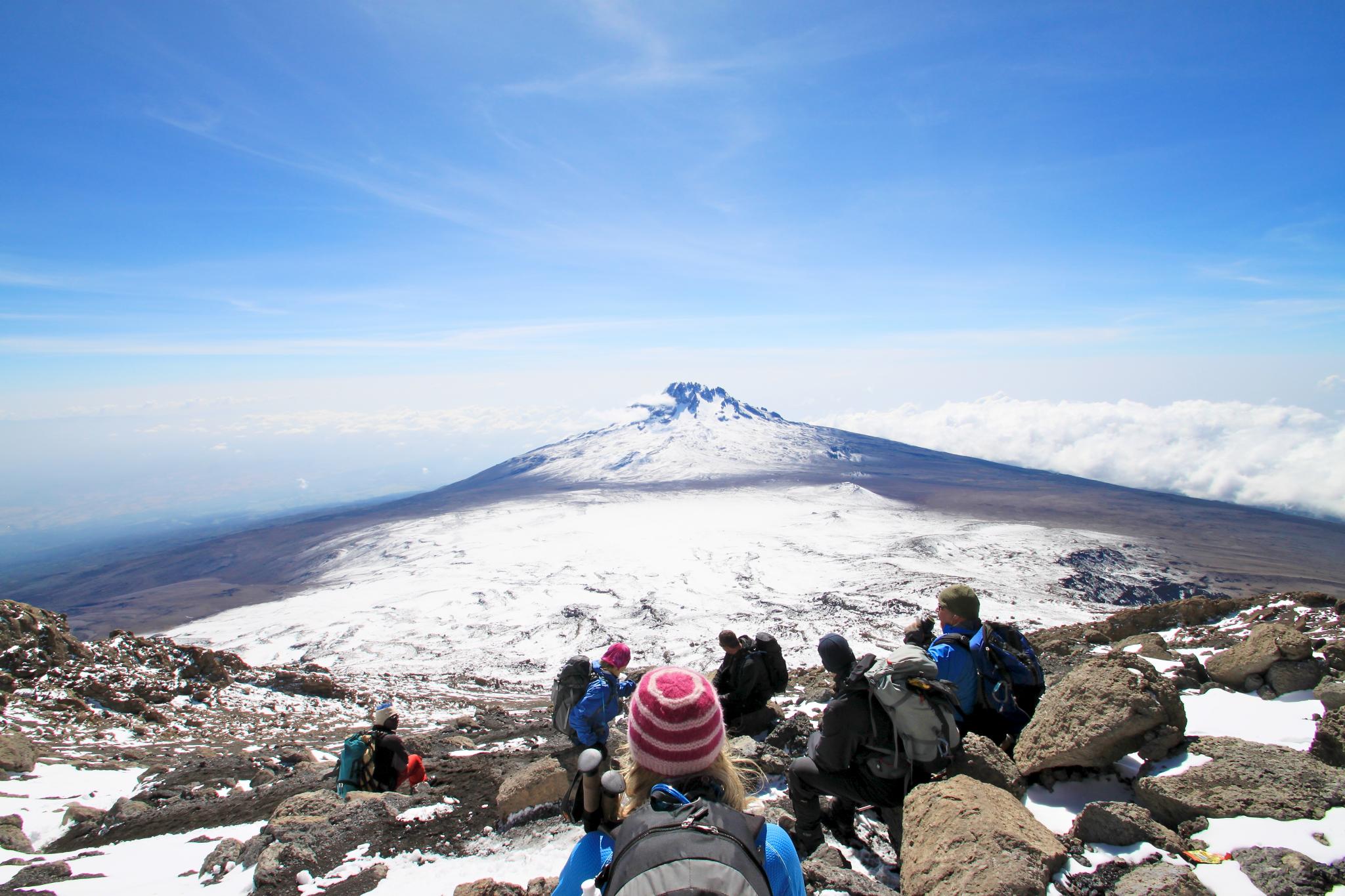
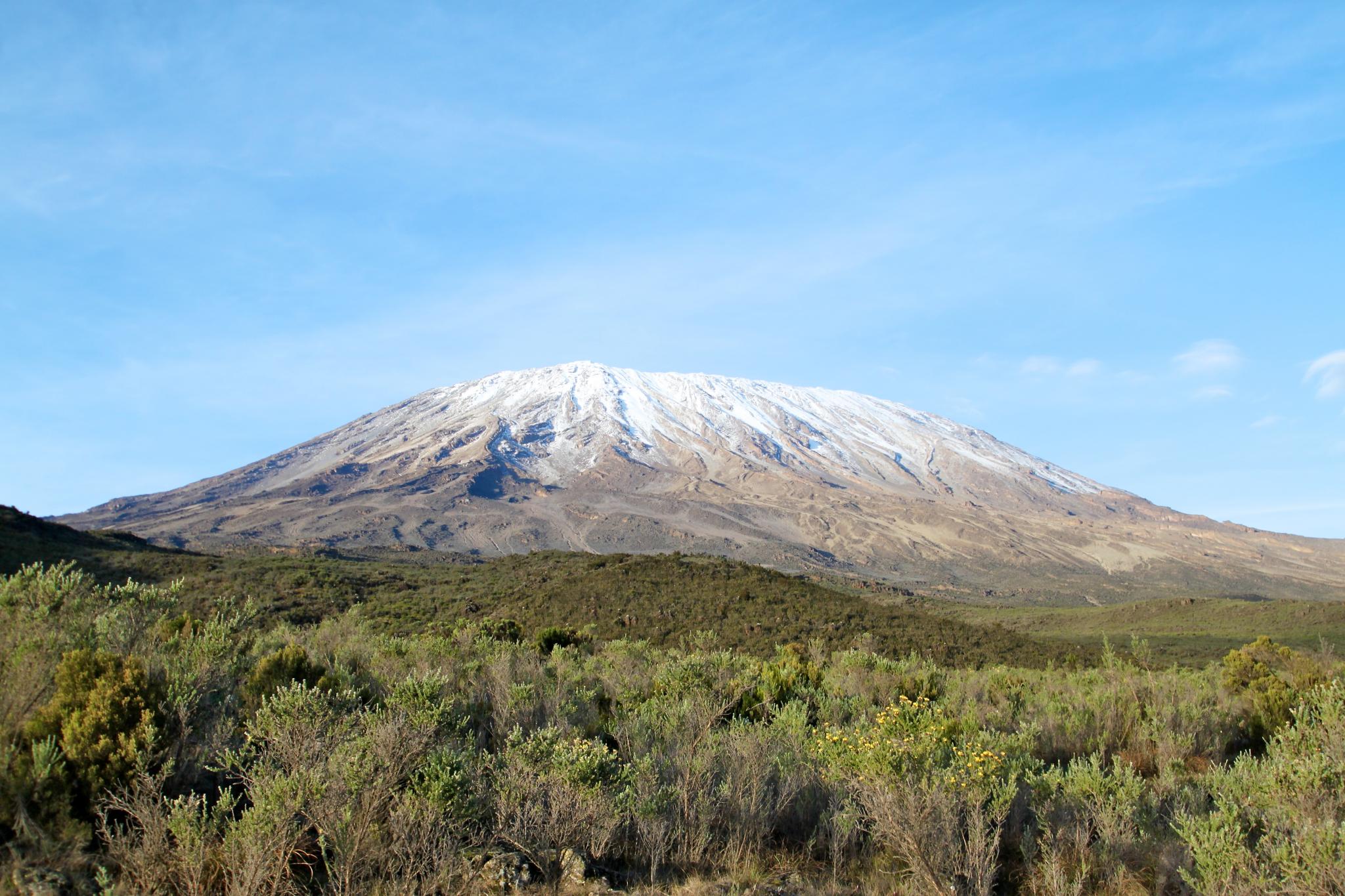
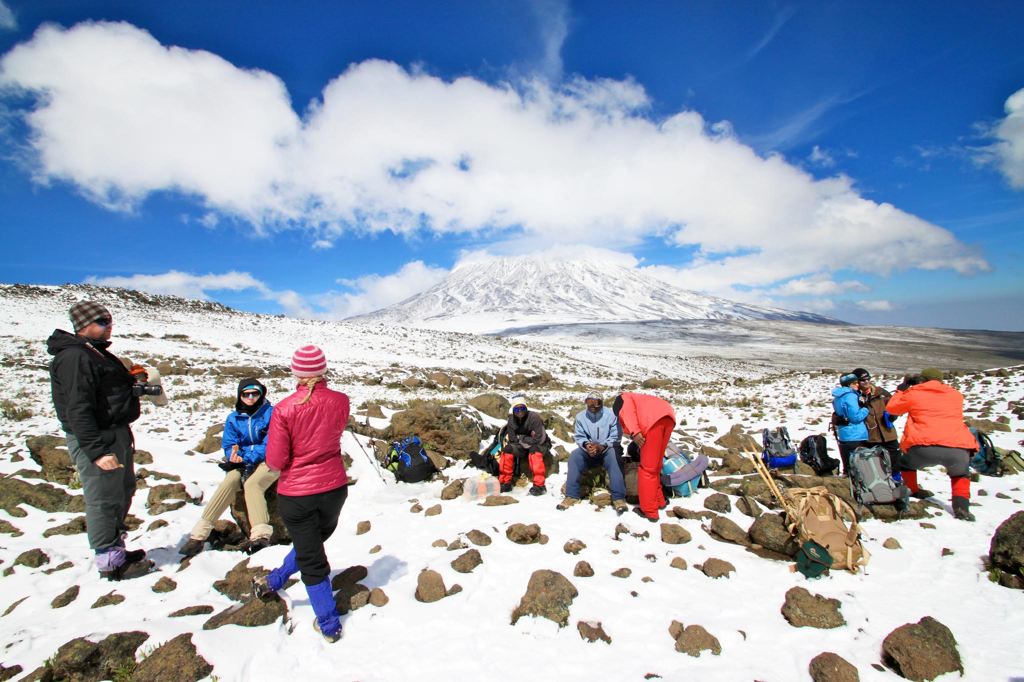
Difficulty Level
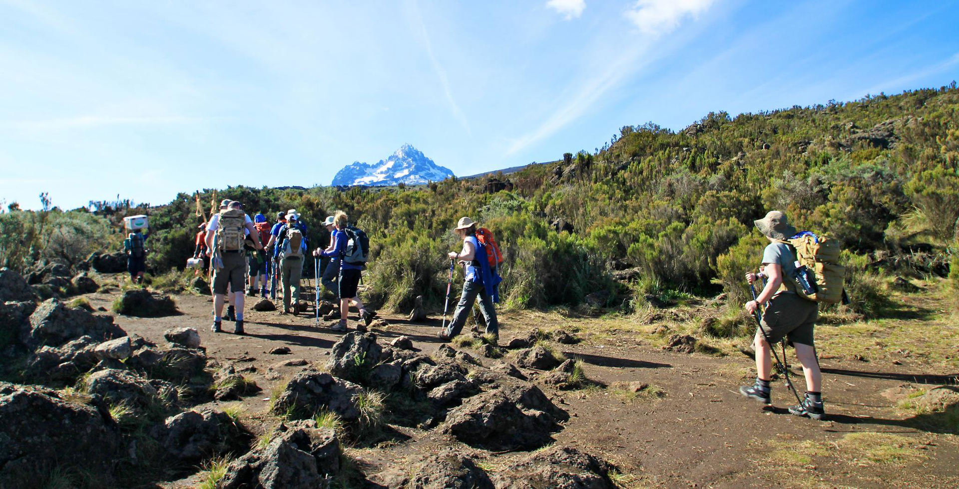
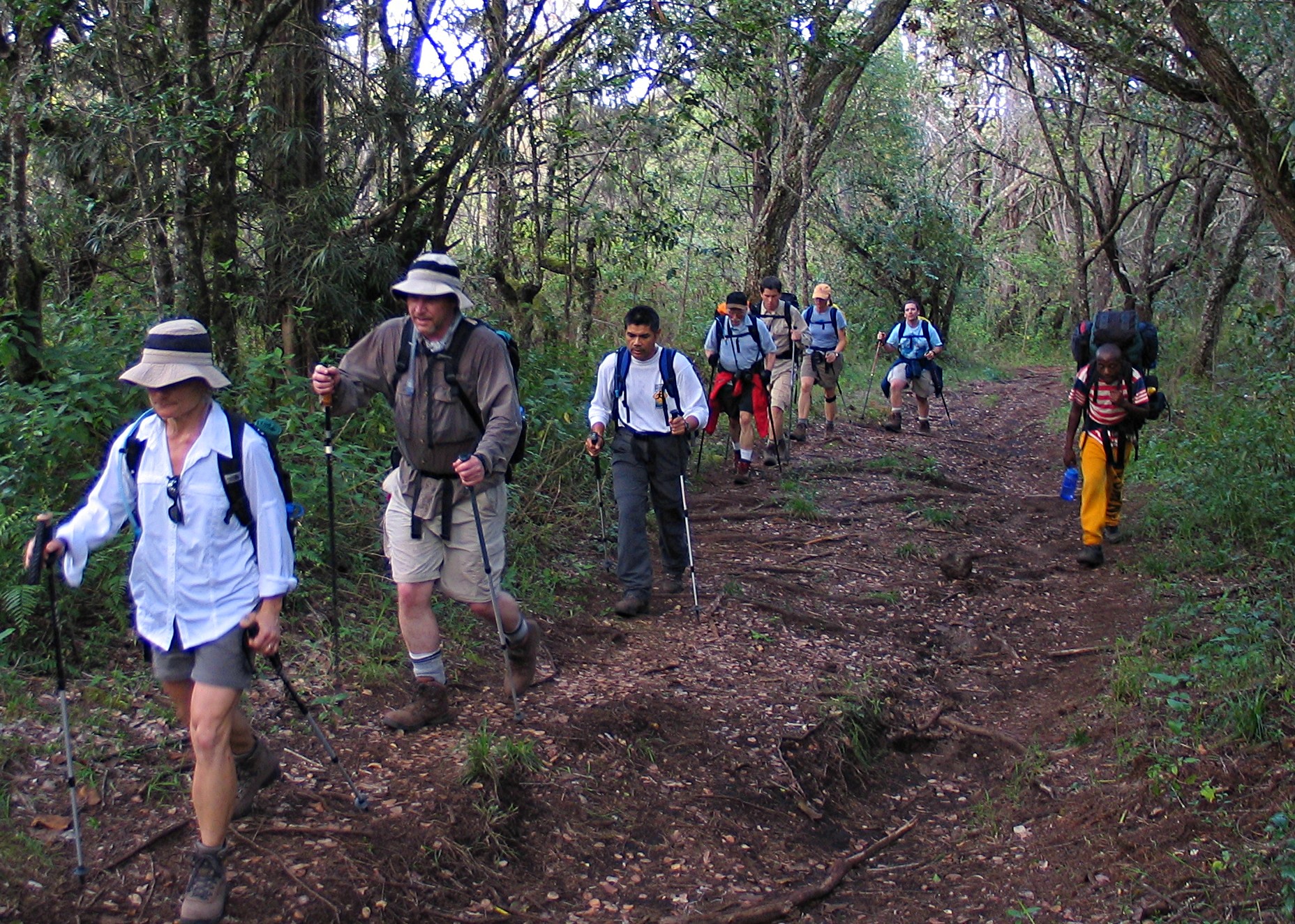
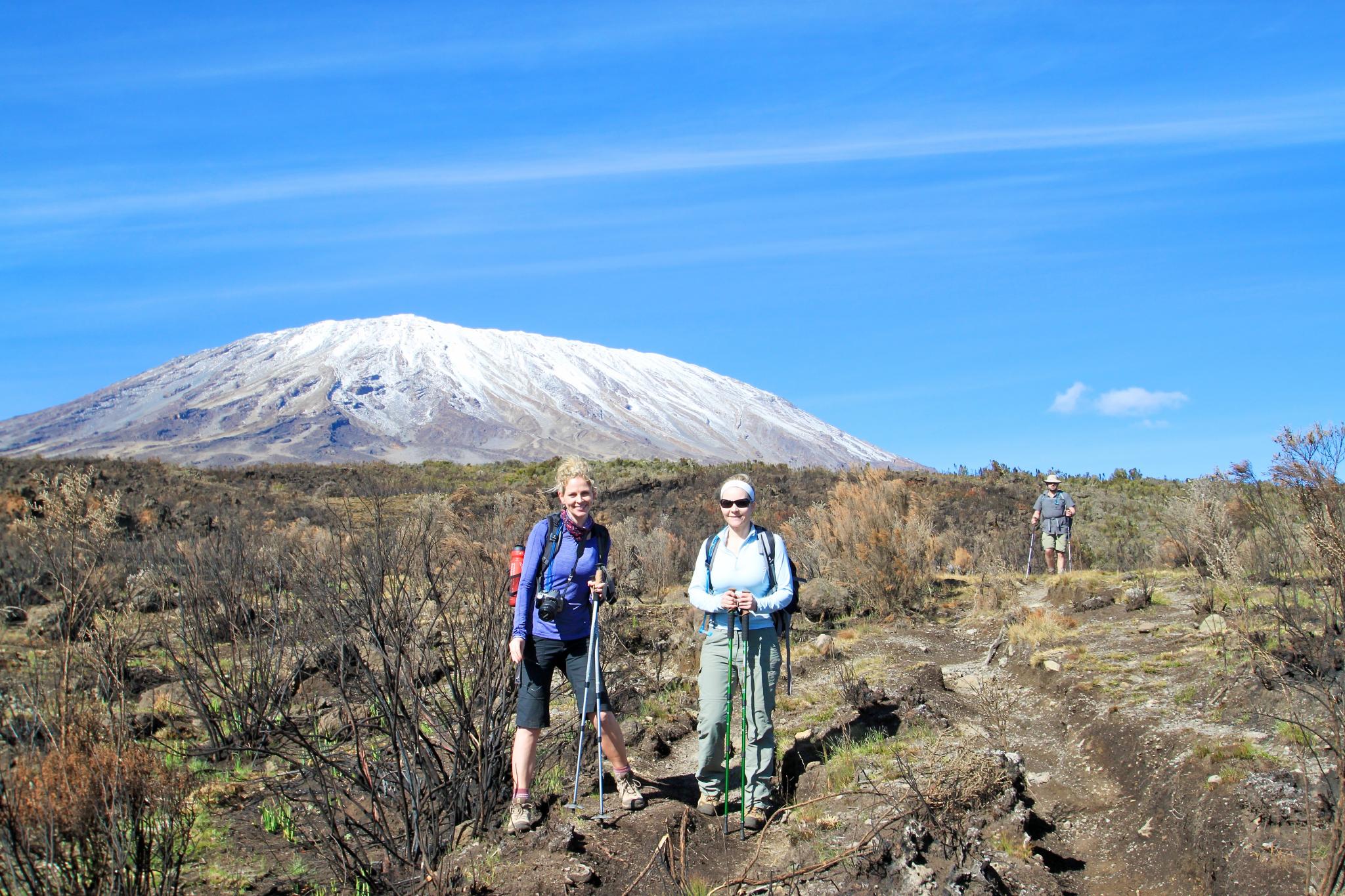
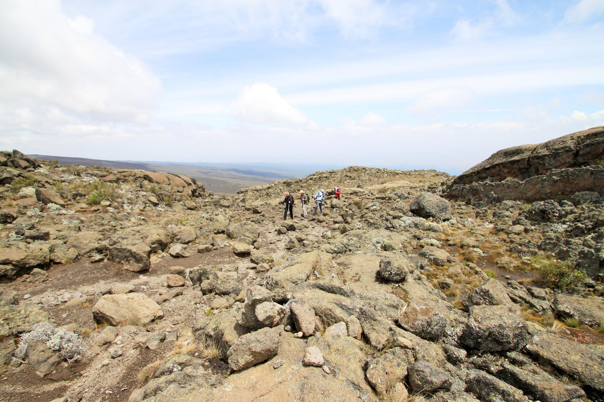
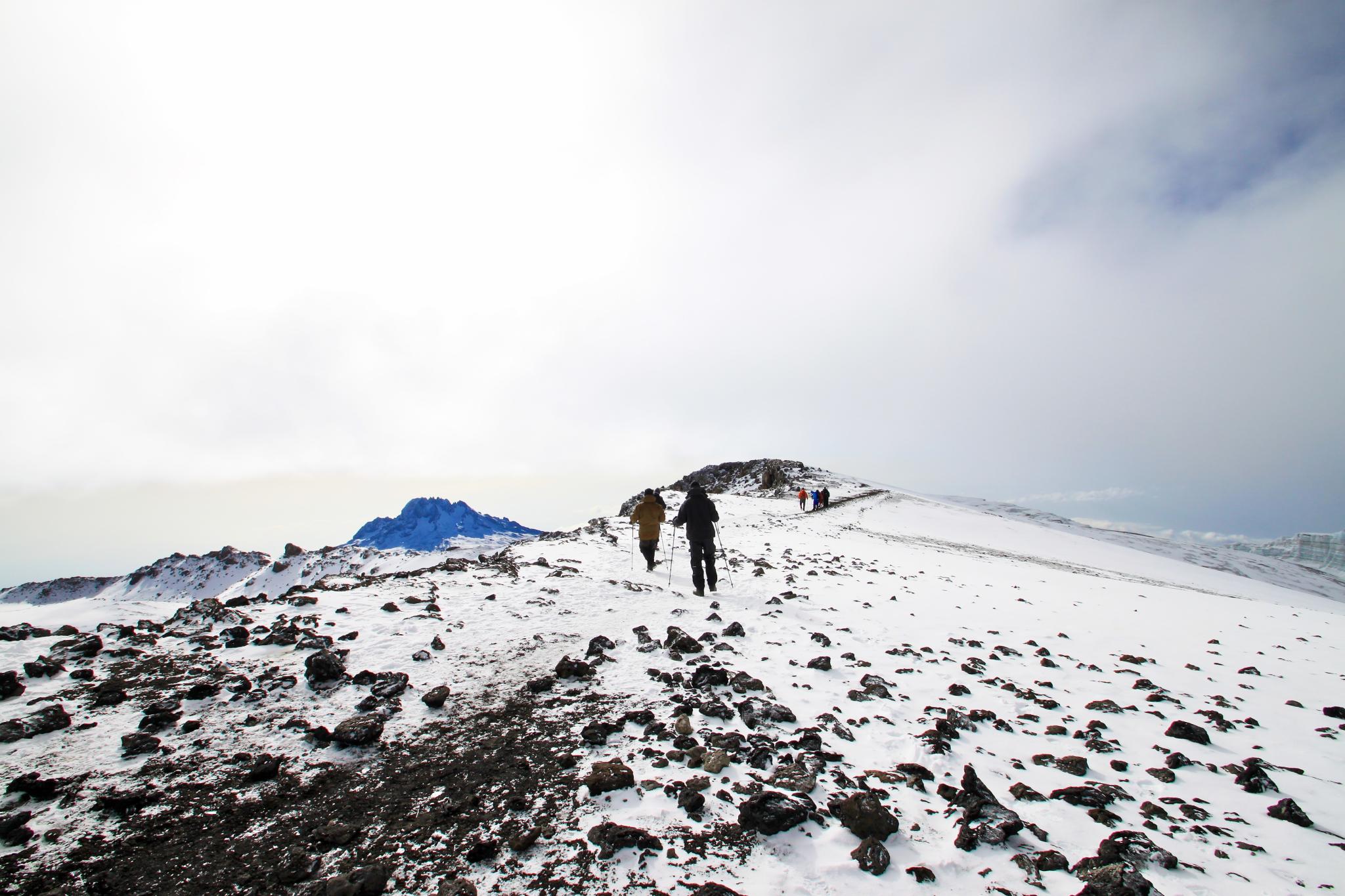
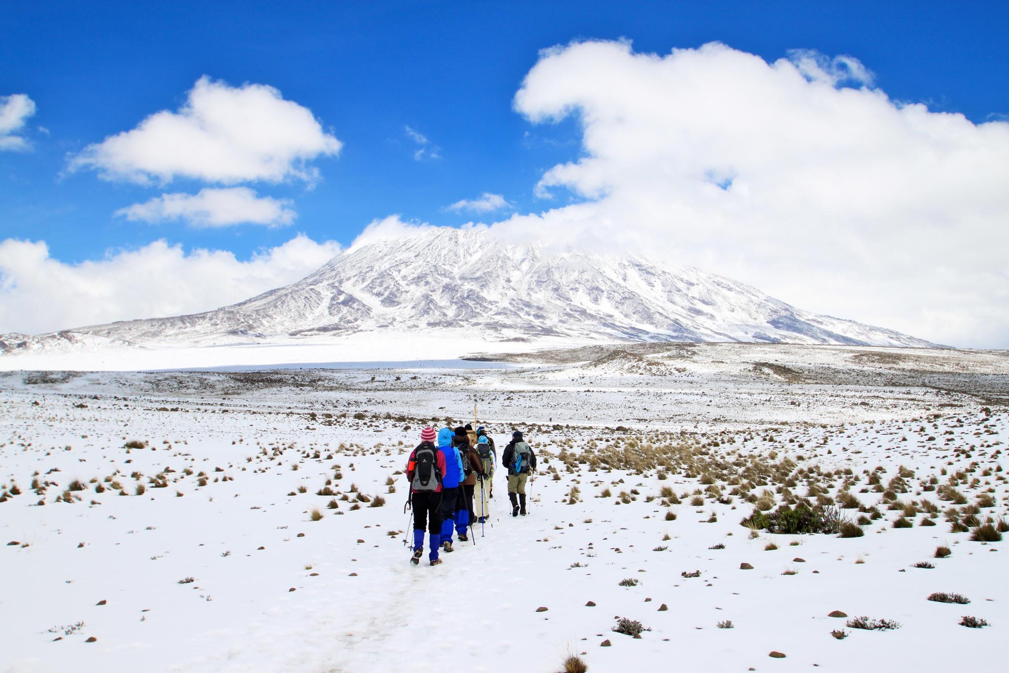
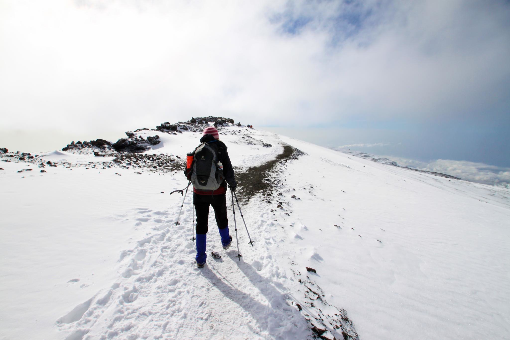
The Rongai route is widely regarded as one of the easier paths to climb Mount Kilimanjaro, offering a gradual and steady ascent. However, it doesn’t provide the ideal ‘walk high, sleep low’ profile, which can make acclimatization more challenging compared to routes like Machame or Lemosho. We offer both 6-day and 7-day options, with the 7-day climb strongly recommended for better acclimatization. While no technical climbing skills are required, the trails are physically demanding, so a good level of fitness is essential.
Food & Drink
Staying well-fed and hydrated is critical during your climb, especially as altitude can reduce your appetite. Our head chef has crafted special menus that are both delicious and packed with energy to keep you going. Daily meals include fresh fruits and vegetables, with fresh meat provided during the early stages of the trek. On southern routes, we resupply at Karanga Camp when possible.
As a reward after your summit push, you’ll enjoy an “All Day English Breakfast” back at Base Camp—just let our cook know how you like your eggs! Before you leave the mountain, you’ll also have the opportunity to try local Tanzanian dishes such as Njegere and Machalari.
- Breakfast: A hearty meal with porridge, sausage, eggs, toast with marmalade or jam, and hot drinks (tea, coffee, or hot chocolate). Let your guide know if you need more food.
- Lunch: Either a packed lunch (boiled egg, sandwiches, chicken, crisps, snack bar, fresh fruit, and a drink) or a hot cooked meal, depending on your itinerary.
- Afternoon Tea: Served at camp after the day’s hike, featuring tea, peanuts, popcorn, biscuits, and other snacks to recharge.
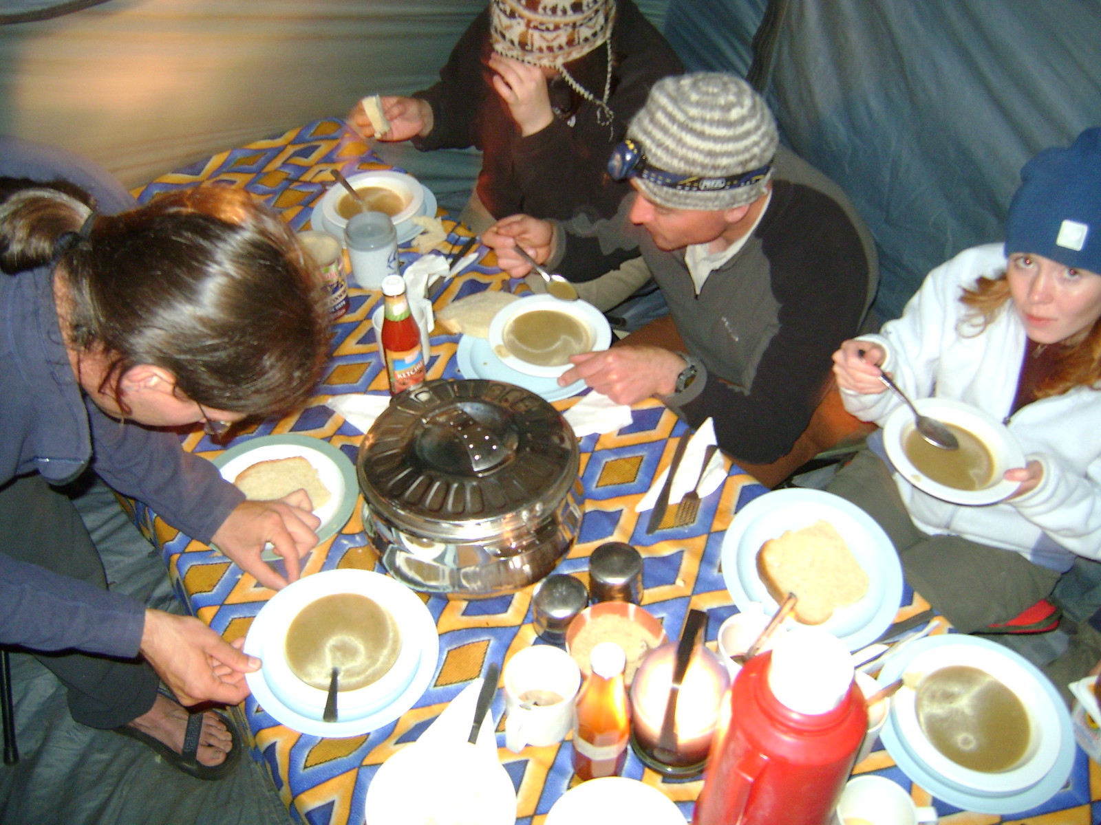
- Dinner: A satisfying meal starting with soup, followed by a main course (e.g., chicken curry, spaghetti bolognese, fresh vegetables, rice, pasta, or potatoes), and ending with a dessert like pancakes or banana fritters with maple syrup or Nutella.
Accommodation
Your itinerary includes details about hotel stays and meal plans. Pre- and post-climb accommodations are based in Moshi. If you’re planning a safari before your climb, we’ll arrange a hotel in Arusha to minimize travel time.
Please note that Tanzania is a developing country, and occasional water and electricity outages can occur. While hotels do their best to assist, these issues are beyond their control.
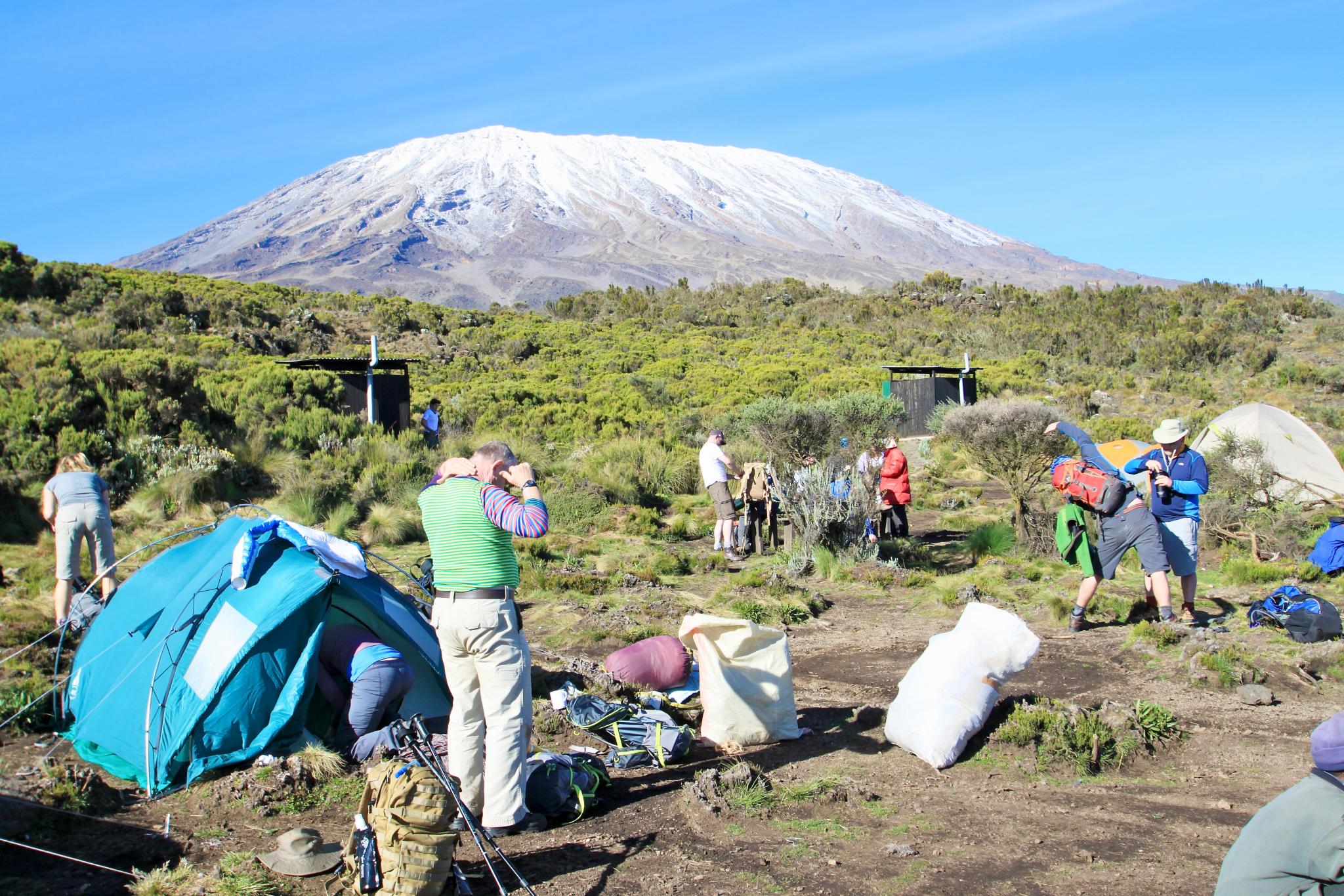
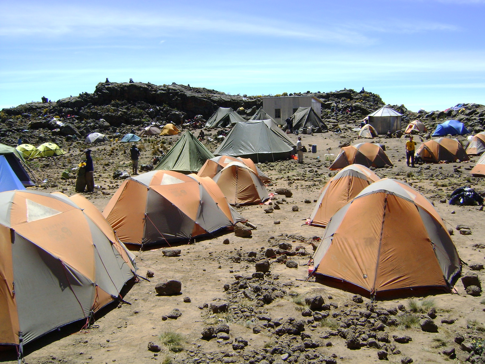
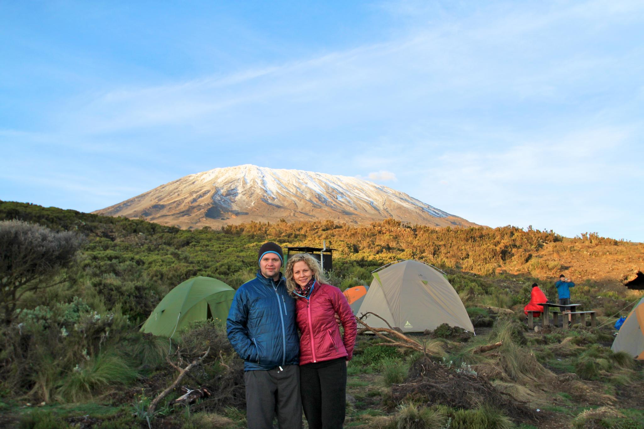
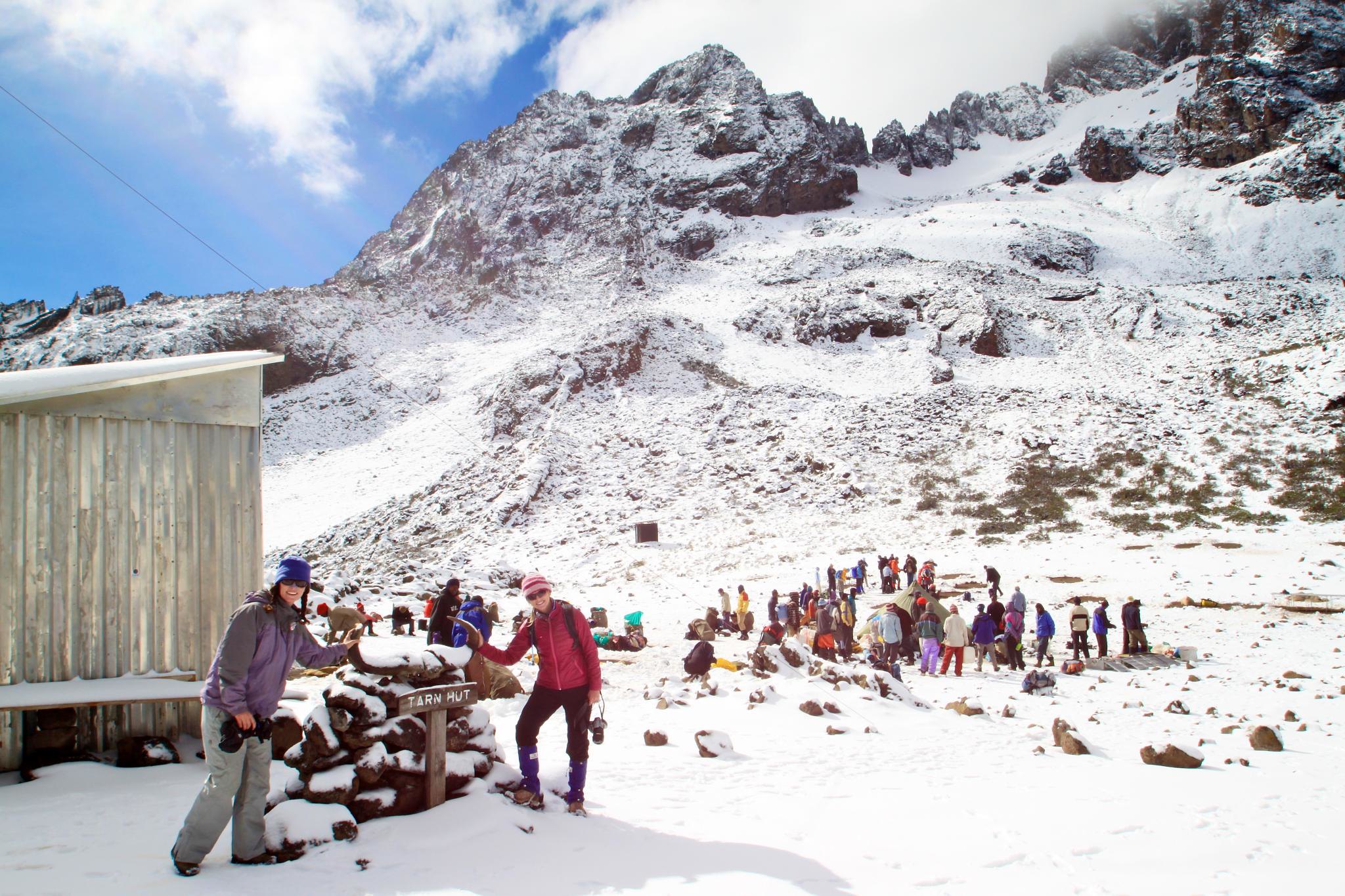
On the mountain, we use high-quality Mountain Hardwear Trango 3 tents, designed to keep you warm, dry, and comfortable in extreme conditions. These are proper mountain tents, so don’t expect to stand upright inside. Dusty conditions can affect zippers, but our guides carry WD-40 to help.
Meals are served in a spacious mess tent with comfortable seating, a table, and plenty of headroom. A separate toilet tent with toilet paper is also provided.
Transport
We prioritize high-standard vehicles and drivers for all transfers. While rear seatbelts are not legally required in Tanzania, we aim to use vehicles equipped with them. If you have any concerns about the vehicle or driving standards, please inform the driver or our local office immediately.
Police checks on drivers’ documentation are common in Tanzania and are not a reflection of your vehicle or driver’s performance.
Luggage
- Climbing Bag Weight: Kilimanjaro National Park enforces a strict 15kg limit per porter for your main equipment bag, including your sleeping bag. Additional porters can be hired at $25 per day if needed.
- Plastic Bag Ban: Tanzania banned single-use plastic bags in June 2019. Please use sustainable alternatives like packing cubes or dry bags. Zip-lock bags for liquids in cabin baggage are still permitted.
Getting There
For climbers from the UK and US, the best option is to fly to Kilimanjaro International Airport (JRO). KLM offers flights from major UK and US airports, with a transfer in Amsterdam. Moshi, the gateway to Kilimanjaro, is a 45-minute drive from JRO, and we’ll arrange your transfer.
While some climbers fly into Nairobi, we don’t recommend this due to potential delays, baggage handling issues, and long transfer times. Turkish Airlines, Air Emirates, and Qatar also fly to JRO, with better experiences reported by US travelers.
For those exploring East Africa, Vayama offers excellent flights to Tanzania, Uganda, Kenya, or Zanzibar. Many climbers combine their trip with a beach holiday in Zanzibar, flying out of Dar Es Salaam.
Ensure at least 3 hours between connecting flights to account for delays and baggage re-checking.
Travelling Responsibly
At Tranquil Kilimanjaro, we’re committed to sustainable travel. Starting in 2025, we’ll offset the carbon emissions for all trips from arrival to departure. Flights are not included, so we provide an eC02 Flights Calculator for you to offset your air travel.
Fitness & Training
Check out our Kilimanjaro Training Guide for tips on preparing physically for your climb.
Budget & Currency
The Tanzanian Shilling is a closed currency, so it’s best to bring US Dollars (new, crisp, and untorn bills). ATMs and currency exchange services are available at the airport and in Moshi. Not all hotels accept card payments, so carry some cash for emergencies.
Tipping
We follow the Kilimanjaro Porters Assistance Project’s tipping guidelines:
- Porters: $6–10/day per porter
- Guides: $20/day per group
- Assistant Guides: $12–15/day per group
- Cooks: $12–15/day per group
Tips are presented at your hotel after the climb, with envelopes provided for distribution. Porters who assist during the summit attempt may receive an additional $20 tip.
Tipping announcements are made on the last night, with a representative from your group expressing thanks, translated by the lead guide.
Due to recent thefts, we advise against carrying cash during the climb. Tips are handled securely upon your return to the hotel.