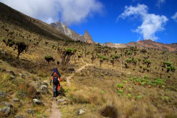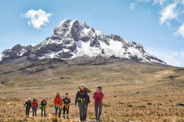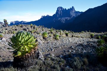
The Chogoria route comes in from the east, with a National Forest Reserve entrance at Chogoria settlement and a National Park gate farther on. The path is frequently referred to be Mount Kenya’s most picturesque route. However, there is no house for its upper camp, and unless you use 4x4s to take off the bottom half, it is quite a bit longer. It is common to drive 4x4s through the jungle till they reach the Meru Bandas or as far as they can go (3000m). Following a 4×4 track a little higher up to the “Roadhead,” where you may either branch left for a more direct route or right to cross Mugi Hill and Lake Ellis, is the next stage.
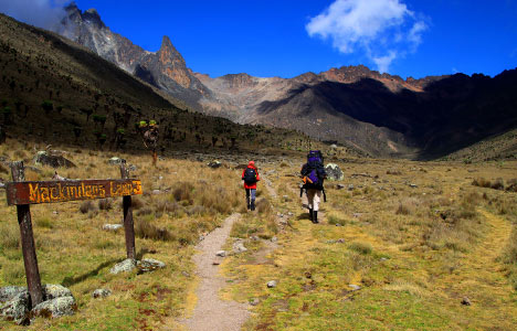
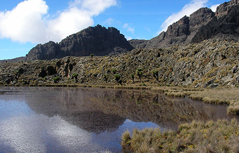
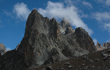
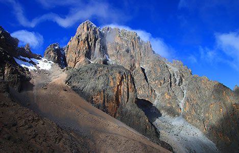
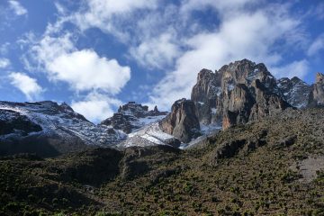
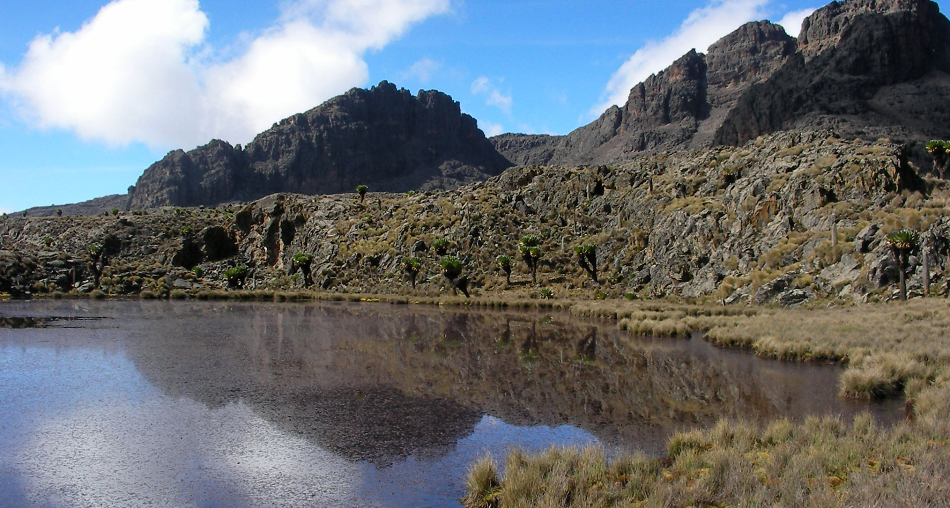
Both routes merge near the head of The Temple, a beautiful amphitheater of cliffs with Lake Michaelson at its bottom and a wide slot at the west end where the Nithi River enters. An old dilapidated cottage just above the intersection (4300m) is where porters frequently sleep, but customers must camp. From here, the path ascends to Simba Tarn, where it separates into two directions, one for Shipton’s huts and the other for Austrian cottages.
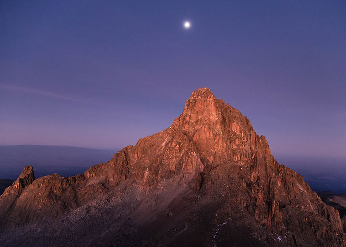
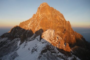
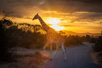
The route’s most appealing feature is the physical scenery.
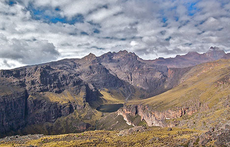
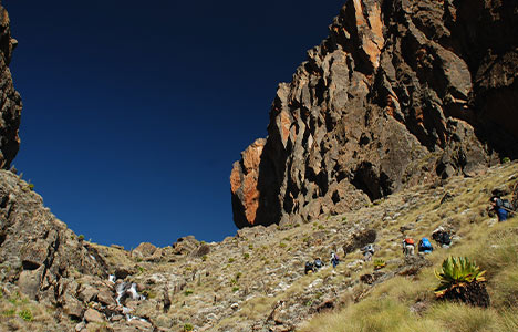
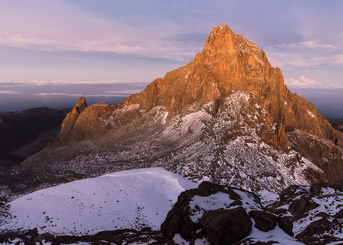
The Chogoria goes around the head of the stunning ‘Temple,’ with the Hall Tarns perched on the rock ledge above it and Lake Michaelson at the base of the amphitheater, although the other routes above typically follow a U-shaped glacier valley for much of the trip. The addition of Lake Ellis, the Giant’s Billiard Table, and the Nithi Falls adds to the attraction. After ascending one of the other climbs, the Chogoria is frequently utilized as a descending path.
From the mountain’s eastern flank, this trail gives access to the summits. The course starts at Chogoria, around 96 kilometers from Embu and 64 kilometers from Meru.
It is often recognized as the most magnificent approach to the peak. It was opened in the 1920s by Ernest Carr, who built a vehicle track to the moorland. It is, however, a somewhat longer journey than the others.
Camping is permitted at the road’s end, and water is supplied from a nearby creek. Mintos Hut (4,300m) is an advantageously situated hut on the plateau with a 300m view of Lake Michaelson. The Nithi George offers spectacular views if you travel ten minutes south-east of the Mintos hut to the brink of the “Temple.” The path continues from Hall Tarn to the Austria Hut (4,790m) through square Tarn and the Tooth Col, then around the Hobley Valley’s head.
Shipton’s Camp (4,200m) may also be accessed in 3 hours by Simba Col. Turn left to Shipton’s Camp as you descend into lower Simba Tarn.
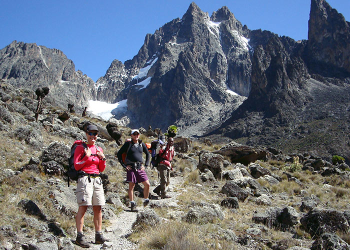
Hiking the Scenic Chogoria Route
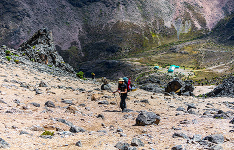
This route, which begins in Chogoria town, is possibly the most scenically gorgeous and beautiful of the routes mentioned in this guide.
It is, however, the most difficult, taking around four days to complete from bottom to top.
It involves a long trek along the Gorges Valley and excellent views of Lake Michaelson from a vertical rock known as the “Temple.”
Related: Climbing the scenic Lemosho Route
Accommodation Huts on Chogoria Route
- Meru Mt Kenya Lodge (3,017 meters (9,898 ft))
- On the outskirts of the national park, there is a privately owned lodge. It is necessary to pay park fees. The lodge, which is about 500 meters from the park gate, is made up of many log cabins, each having a bedroom, kitchen, bathroom, and living room with a log fireplace. The huts, which sleep 3–4 people, provide hot running water. The campground is near the park entrance and provides running water.
- Urumandi Hut (site of) (3,063 metres (10,049 ft))
- This hut, which was constructed in 1923, is no longer in service.
- Minto’s Hut (porters only) (4,290 metres (14,075 ft))
- Minto’s Hut is located near Hall Tarns and can accommodate up to 8 porters. There is a campground close by. The tarns are used to get water. Because there is no drainage from the tarns, the stagnant water must be filtered or cooked before use.