From near the town of Timau, the Timau Route approaches from the north. Because it takes a meandering route over the softer northern slopes until they steepen at roughly 4200m, it used to be a favorite route for ascending in a 4×4. It then climbs up to reach the Chogoria Route at Hall Tarns after dropping down and across the Hinde Valley and the Nithi North river. The route’s conditions fluctuate, although vehicles seldom go higher than 3400 meters. It is still theoretically feasible to climb this route, but current circumstances would need seeking particular assistance from the KWS Rangers.
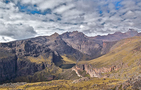
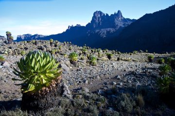
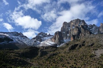
The road is surrounded by a large rain shadow. As a result, there isn’t much woodland on this side of the mountain. The low rainfall zone, on the other hand, provides for a drier walk. Because Mount Kenya’s summits line up east to west, the views from the north give the sense that you’re traveling through a whole mountain range.
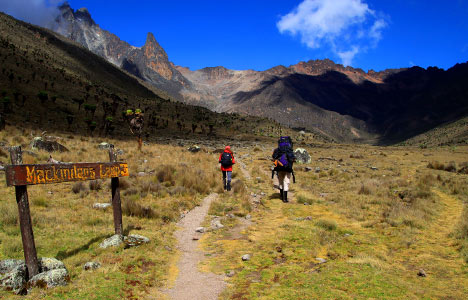
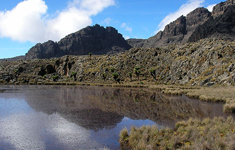
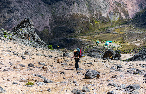
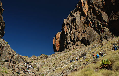
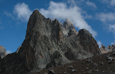
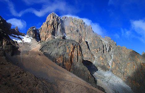
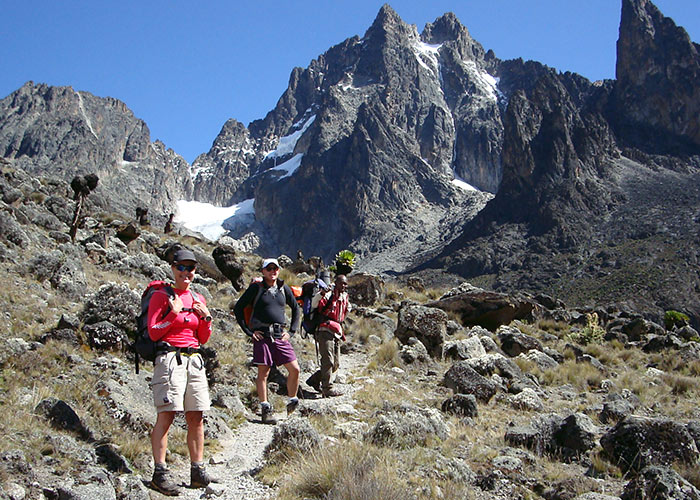
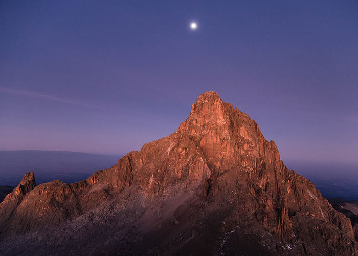
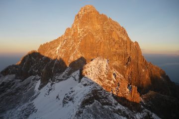
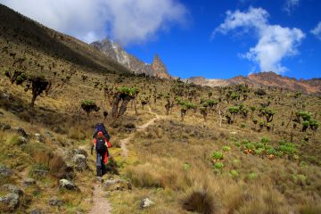
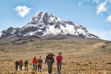
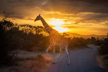
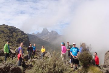
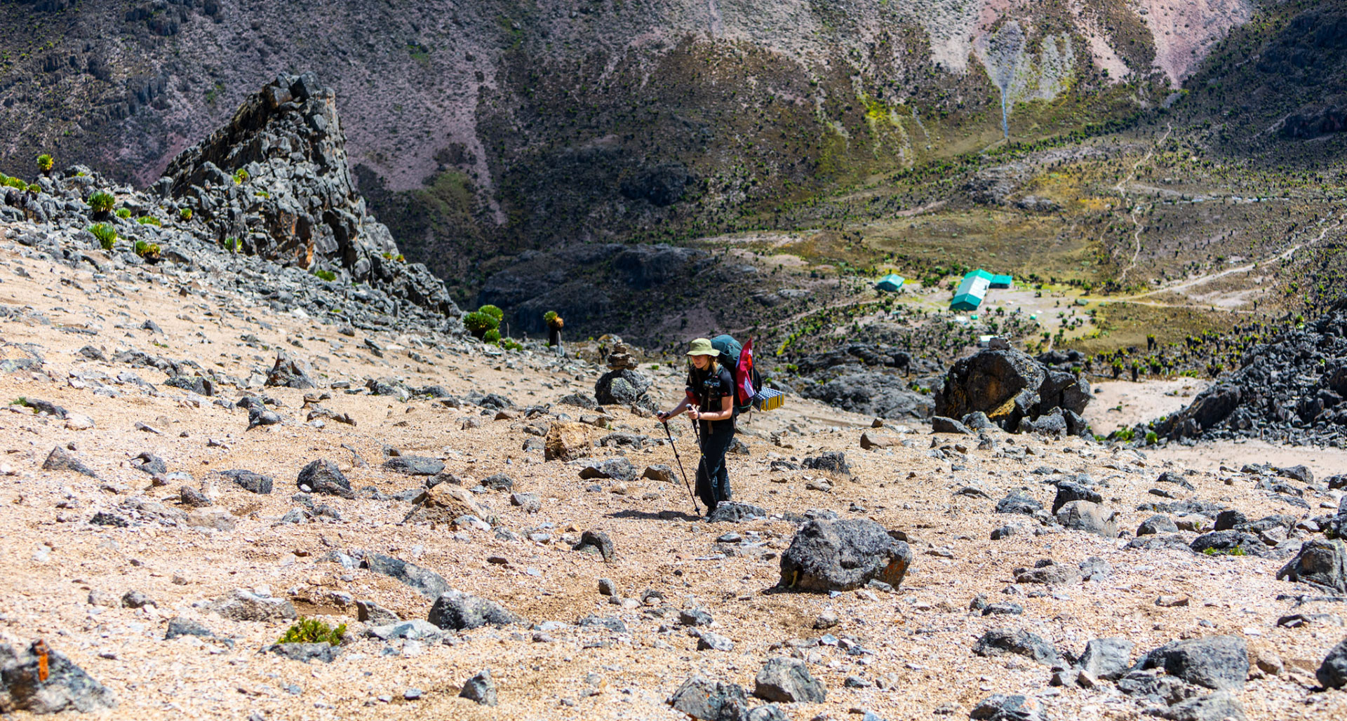
The Timau Trail up to Lenana Point is unique in many ways…it exudes a tremendous charm by instilling a sense of seclusion and calm into this excellent mountain hike. It brings to life some of the mountain’s most spectacular and picturesque locations, including the rain forest, moorland, lakes, and bizarre volcanic rock formations. It’s also your best opportunity to observe animals and birds at higher elevations, with a plethora of Zebra, Eland, Daiker, Buffalo, and, if you’re lucky, lions. Join us on this lovely journey.
Timau Route Itinerary summary:
- Day 1: Marania Camp
- Day 2: Major’s Camp
- Day 3: Simba col
- Day 4: Simba col to Teleki camp site via Lenana
- Day 5: Teleki camp to Mackinder valley camp via Eastern Terminal
- Day 6: Mackinder valley camp to Old Moses