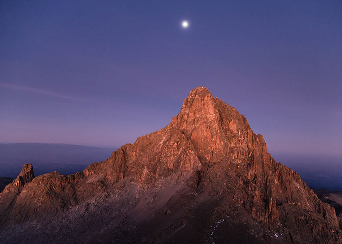
The Naro Moru Route comes in from the west, and KWS has a National Park Gate and its mountain headquarters there. There is also lodging available here. Because it is relatively short and features huts at Met Station (3050m) and MacKinders, this route used to be by far the most popular (4200m). However, the Sirimon path has surpassed it as the most popular. The cottages are nice in both places, and there is also camping available. The first day is spent on a vehicle route through the forest and bamboo on the way to Met Station. The second day takes you through more bamboo and woodland before emerging onto alpine heath and follows the Teleki Valley all the way to MacKinders.
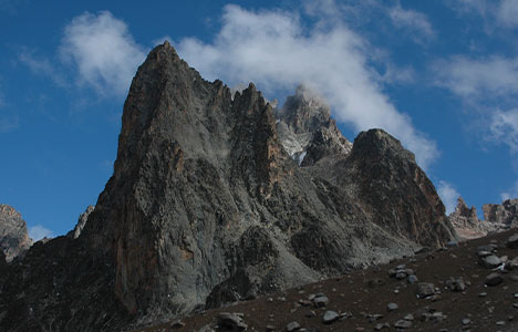
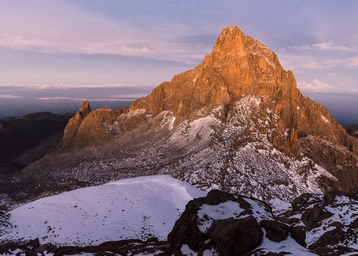
The South Approach to Point Lenana is normally taken after passing another hut (Austrian Hut) at 4790m.
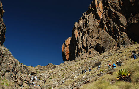
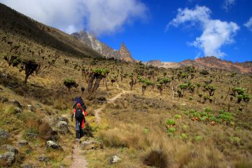
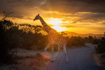
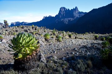
The bamboo zone, as well as the woodland, are still dense on this path. Bushbuck, Colobus monkey, and Sykes Monkey are all likely to be seen, as well as traces of Buffalo and Elephant. The hygenia woodland is in good shape, with many blooms and other species. A fire in 2013 severely destroyed the huge heathers above the forest, although the alpine moorland contains a lot of Giant Lobelia and MacKinders Gladiolus further up. Tree and Cabbage Groundsels, as well as Lobelia Telekii and Deckenii, abound in the Teleki Valley.
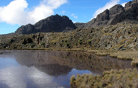
Some of the cabbage groundsels, in particular, are monstrous. Rock Hyrax may nearly always be seen on the way to or from MacKinders.
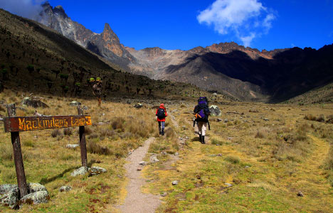
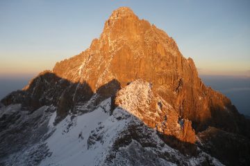
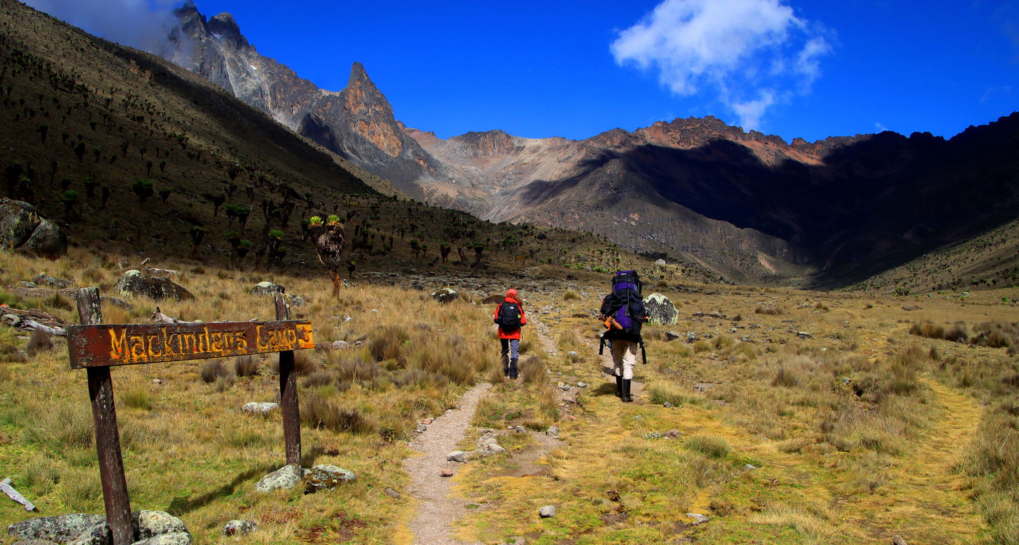
Mackinder’s camp on Mount Kenya’s Naro Moru Route.
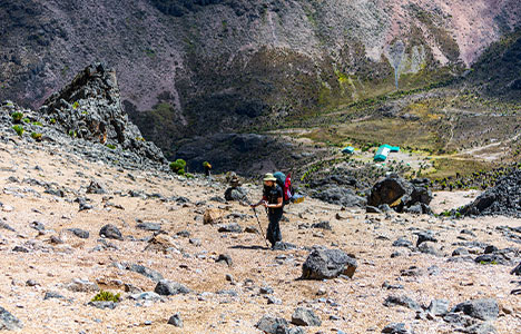
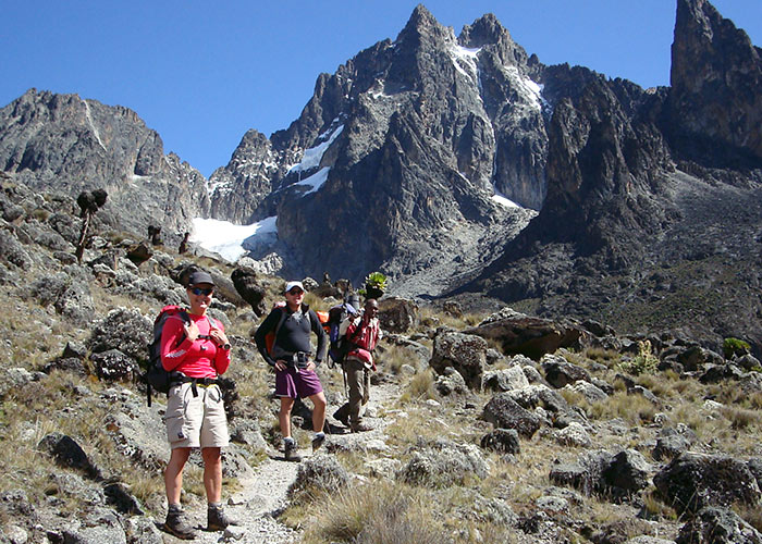
This is the shortest path to the Teleki Valley and the summits. Because it is the quickest and most visible path up, it is the most densely inhabited with hikers. One hour after Met Station, a steep swampy portion known as the Vertical Bog is reached; this section is horrible and maybe crossed in two hours. The trail reaches the peak of the slope overlooking Teleki Valley after three to four hours from Met Station (4000m).
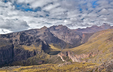
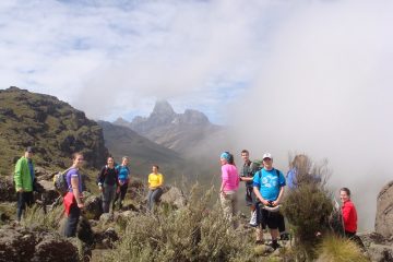
The trail contoured along the right side of the Teleki Valley, staying high for a while until gently descending to Mackinder’s Camp through the Naro Moru stream (4,200m). It takes around 5-6 hours to hike from Met Station to Mackinder’s camp. The Austrian hut is another 4 hours walk away, and point Lenana is another 45 minutes (4985m).
Hiking the Naro Moru Route
This is the most popular and fastest way to go to Point Lenana, but it may become busy. It also misses out on some of the mountain’s most picturesque areas.
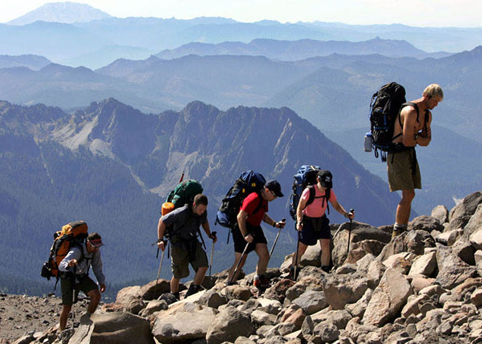
The climb takes only three days on average, and there are bunkhouses along the way for overnight lodging.
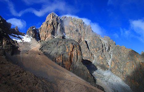
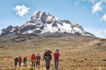
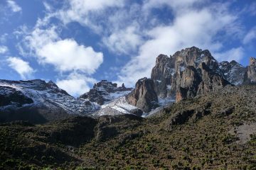
The terrain is mainly passable, however, there is a steep and hard swampy region known as the “Vertical bog.” Aside from that, this path crosses across the broad Teleki Valley, which offers a spectacular view of the Tyndall glacier.
3 Days Naro Moru Route Itinerary
On the Naro Moru trail, the ascent is as follows:
- Day 1*: Nairobi to the Meteorological Station ( 3 to 4 hours)
- Day 2: Mackinder’s Camp to Met Station
- Day 3: Descent from MacKinder’s Camp to Point Lenana and back to Met Station (8 to 10 hours)
* For acclimatization, spend one day at Naro Moru River Lodge or another base camp.
Accommodation Huts on Naro Moru Route
- The Warden’s Cottage (2,400 meters (7,874 ft))
- Until 1998, this was where the park’s top wardens lived. Two bedrooms, a bathroom, a kitchen,, and a living room with a balcony and a log fire are all included. There is a constant supply of hot water. Park fees must be paid because the cottage is located within the national park.
- Meteorological Station (3,050 metres (10,007 ft))
- Naro Moru Lodge is in charge of the Met Station. There are many bunkhouses and a campground here.
- Mackinder’s Camp (4,200 metres (13,780 ft))
- Naro Moru Lodge is also in charge of Mackinder’s Camp. There is a spacious bunkhouse as well as lots of camping space.