The Ol Donyo Orok, also known as Namanga Hill, rises to a height of 2,548 meters above sea level, towering like a lone sentinel over the wide surrounding semi-arid plain, 22 kilometers from its nearest Tanzanian neighbor, Mt Longido. It is formed like an arrow heading north, reaching about 17 kilometers north to south, 10 kilometers east to west at its broadest point, and covering an area of 11,860 hectares. It is located about 170 kilometers south of Nairobi, near the border town of Namanga between Kenya and Tanzania.

The hill is a protected natural forest reserve that provides water to Namanga and the surrounding region.

Its mostly unexploited vegetation makes it one of Kenya’s few remaining pristine forests, with only some gathering of construction poles by the Maasai population for hut construction. The Namanga River, which is littered with boulders, forms a deep tunnel across the mountain, and there are caves where Maasai Morans perform parts of their rituals.

Tanzania Hikes

2 days Mount Hanang trek

2 Days Mount Hanang Trek

With a height of 3,417 meters above sea level, Mount Hanang is Tanzania's third-highest peak after Kilimanjaro and the Meru

One Day Kilimanjaro Trek to Mandara Hut- Marangu

The 1 day hike to Kilimanjaro's Mandara Hut, the first accommodation point along the Marangu route begins with an early

4 Days Mount Meru Trek

This 4 Days Mount Meru trek is a marvelous opportunity to climb the second highest mountain in Tanzania which is located

One Day Hike on Kilimanjaro to Shira Plateau

Experience a one-day trip to Mount Kilimanjaro's Shira Plateau. Climbing Mount Kilimanjaro is a challenge that many would love to

Hiking Mount Ol Donyo Orok in Namanga

On the western side of the mountain, at the entrance of Namanga River Lodge, one of the trails up the hill begins. It passes an ancient bridge and an abandoned school before reaching a trail that runs parallel to water pipes that bring water from mountain streams to the town.

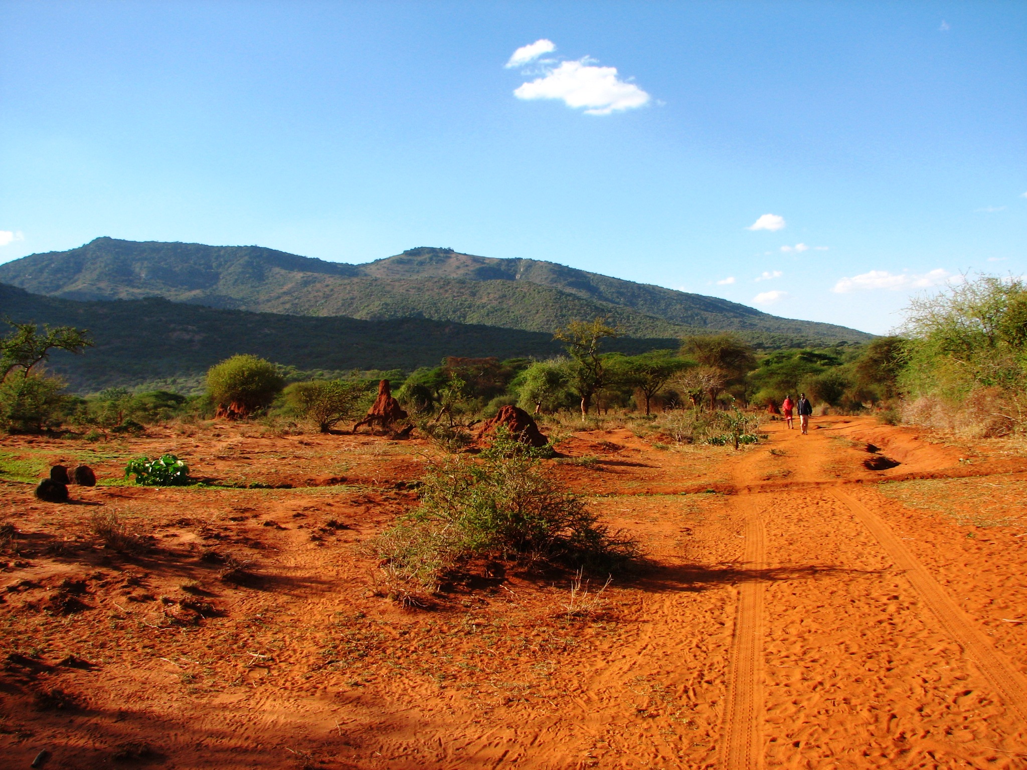
As the route winds its way higher up the mountain beside the Namanga River, the foliage thickens.

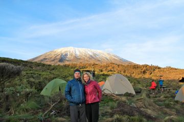
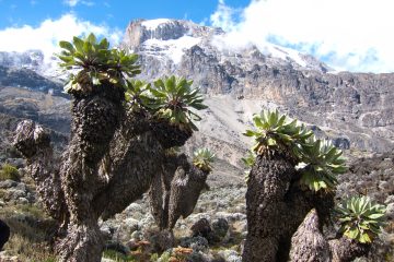
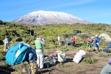
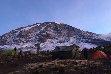
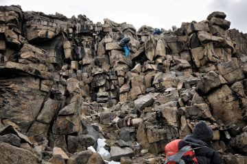
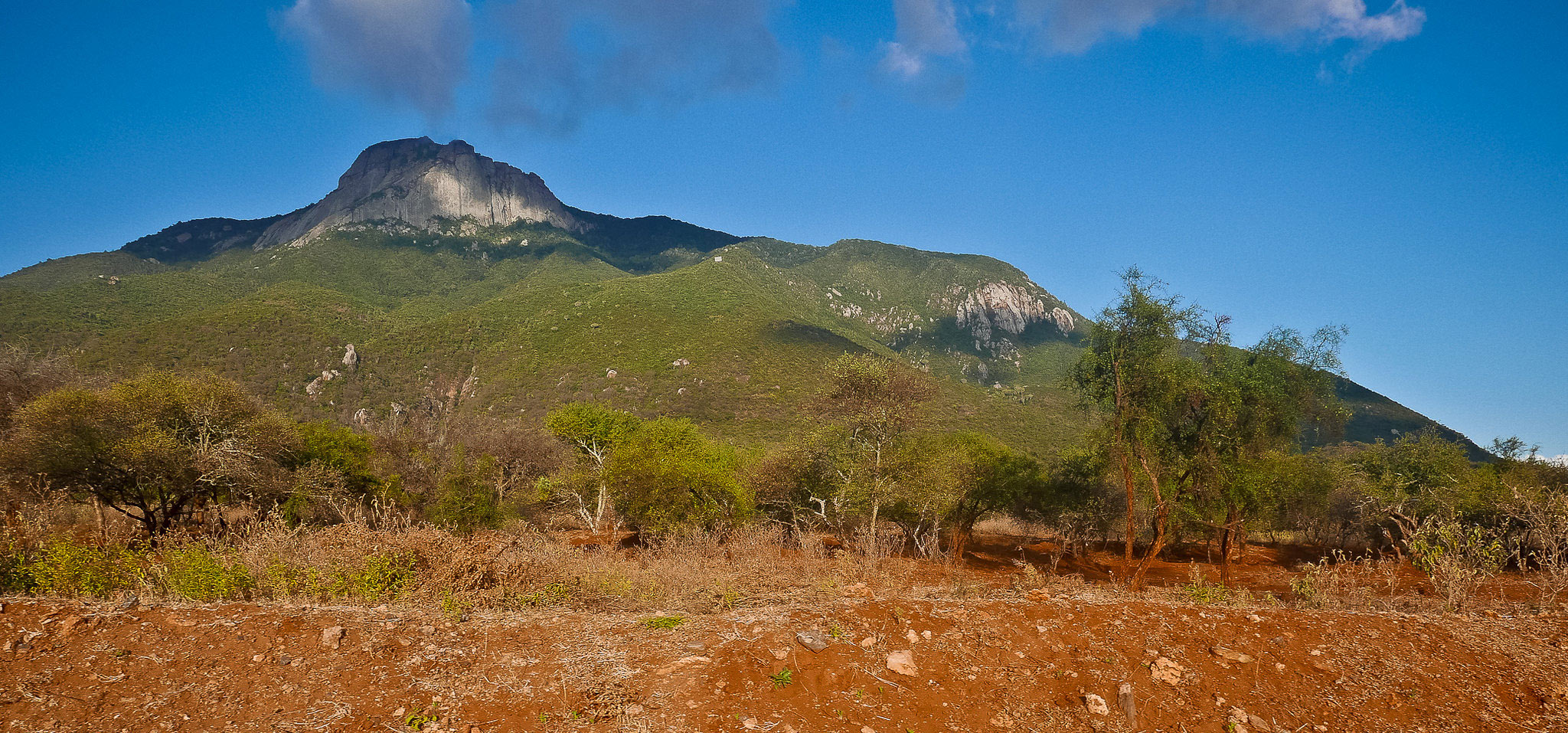
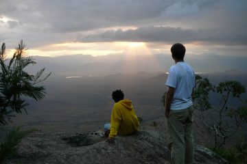
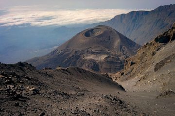
For the hiking enthusiast, the clear mountain river waters, rocks sculpted by years of water erosion, and caves carved into the river and mountain sides give a highly satisfying outdoor experience. The route opens up into clearings further up, providing spectacular views of the village below, the distant Mt Longido, and Mt Kilimanjaro, which is about 65 kilometers away. You could also be fortunate enough to see some of the local wildlife, such as buffalo herds, several antelope species, dik diks, and monkeys.

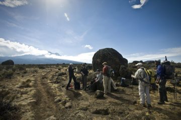
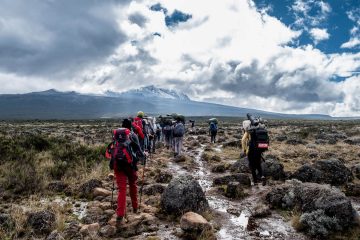
The round way hike up the hill might take anything from 4 to 6 hours.

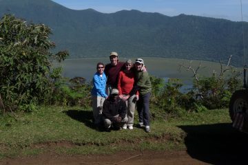
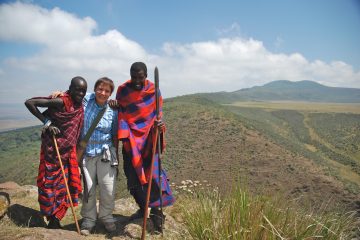
It goes without saying that stopping at strategic spots along the path to soak in the views, sounds, and smells of the general area enhances the whole experience. It might also be beneficial to hire a Maasai guide.

Hiking Namanga HillHow to Get There

Take Namanga matatus from the River Road and Ronald Ngala Street intersection at OTC if traveling by public transport from Nairobi.

If you’re driving, follow Mombasa Road to Athi River Junction and turn left into Namanga Rd. Pass via Kitengela, Isinya, and Kajiado towns on your way to Namanga.

Namanga Hill Guides

While it’s not uncommon for local guides to refuse the assistance of armed Kenya Forestry Service (KFS) soldiers, it’s a good idea to ask them to arrange for armed escort.

It’s an extra expenditure, but given the dangers, you’ll face on this mountain, that precaution might save your life.

Entry Requirements

The Kenya Forest Service, which manages Namanga Hill’s forest, does not charge a fee for trekking there. Your guide will explain their guiding and conservation costs to you.

Mount Kilimanjaro Tours

Uhuru Peak via Lemosho Route
Best seller!

8 days Lemosho Route Itinerary

You get an extra day to acclimatize on Mount Kilimanjaro if you choose the 8-day Lemosho route plan. The Lemosho
7 days Machame Route
Popular!

7 days Machame Route Itinerary

The 7-day Machame Route gives you an advantage over the 6-day Machame Route since it gives you ample time to

6 Days Marangu Route

The more advantageous option for ascending Mount Kilimanjaro via the well-known Marangu route is the 6-day Marangu route plan. For

9 days Northern Circuit Route

The 9 days Northern Circuit Route is one of the easiest routes on Mount Kilimanjaro. It is a recently introduced

7 Days Rongai Route

This is a 7 days Rongai route itinerary variation with an extra day for acclimatization. Gradually sloping towards the summit,

9 Days Crater Camp via Lemosho Route

This 9-day crater camp trek combined with the 8-day Lemosho route climb is a unique and ultimate Kilimanjaro experience. Crater

7 days Lemosho Route

The shorter 7-day Lemosho route variant does not include the extra acclimatization day as the 8-day Lemosho route itinerary. The

6 days Machame Route

For mountain climbers with prior climbing expertise and the capacity to acclimate more quickly, the 6-day Machame route is advised

6 Days Rongai Route

This 6-day route uses the Rongai Route to get you to the top of Mount Kilimanjaro. Treks up the Rongai

5 Days Marangu Route

The Marangu route, which is the mountain's oldest and most popular path, is used in the five-day Marangu route itinerary.

6 Days Umbwe Route

Many climbers, particularly first-timers, dislike the 6 day Umbwe Route Kilimanjaro itinerary for a variety of reasons. It is one

11 Days Western Breach Route

Due to the risks involved in taking this route to ascend the peak, the 11-day Western Breach route itinerary is

7 Days Shira Route

Shira is an ancient route that does not adhere to normal acclimatization guidelines, so the Lemosho Route, which is more

One Day Kilimanjaro Trek to Mandara Hut- Marangu

The 1 day hike to Kilimanjaro's Mandara Hut, the first accommodation point along the Marangu route begins with an early

One Day Hike on Kilimanjaro to Shira Plateau

Experience a one-day trip to Mount Kilimanjaro's Shira Plateau. Climbing Mount Kilimanjaro is a challenge that many would love to